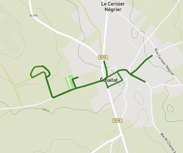
This walking route covers 4.738mi starting from Jarnac, Charente. The walk does not return to the trailhead and ends near D 55, 16200 Sigogne, France. This walk is rated as easy, plan for about 1h43m to complete it. The route has an elevation gain of 269ft and an elevation loss of 131ft.
2ème jour explo
Route details
21:45/mi
Pace
421 kcal
Calories burned
Point to point
Route type
62ft
Min altitude
226ft
Max altitude
Route profile
269ft
Elevation gain
131ft
Elevation loss
62ft
Min altitude
226ft
Max altitude
How to get there
Trailhead: 46 Rue De Dogliani, 16200 Jarnac, France
GPS coordinates of the trailhead: 45.685681, -0.170288 / 45°41'8'' N, 0°10'13'' W