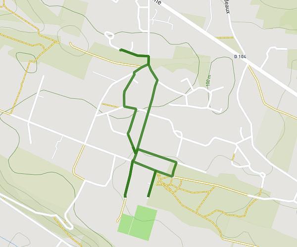
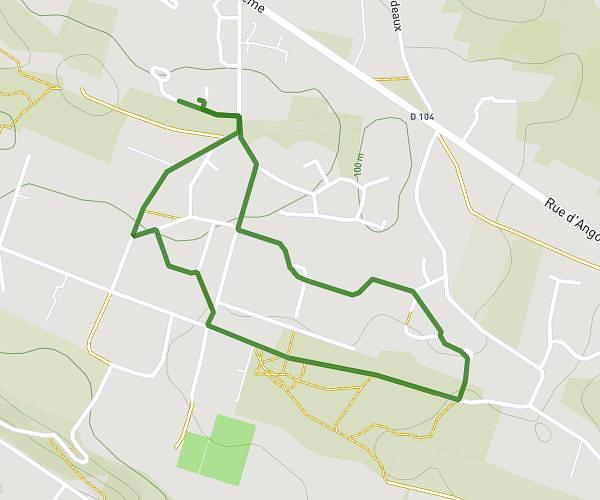
This walking route covers 0.761mi starting from Puymoyen, Charente. The walk is a loop trail and returns to the trailhead. This walk is rated as easy, plan for about 40m to complete it. The route has an elevation gain of 95ft and an elevation loss of 82ft.
Dimanche 16 02
Route details
52:29/mi
Pace
163 kcal
Calories burned
Loop trail
Route type
302ft
Min altitude
364ft
Max altitude
Route profile
95ft
Elevation gain
82ft
Elevation loss
302ft
Min altitude
364ft
Max altitude
How to get there
Trailhead: 1 Résidence Beau Soleil, 16400 Puymoyen, France
GPS coordinates of the trailhead: 45.62115, 0.162 / 45°37'16'' N, 0°9'43'' E