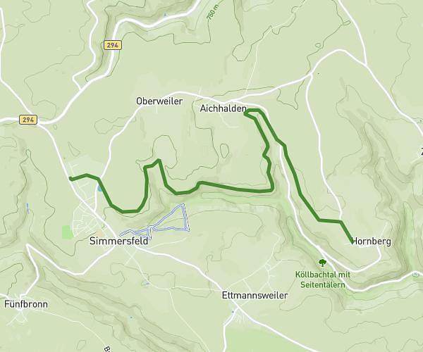
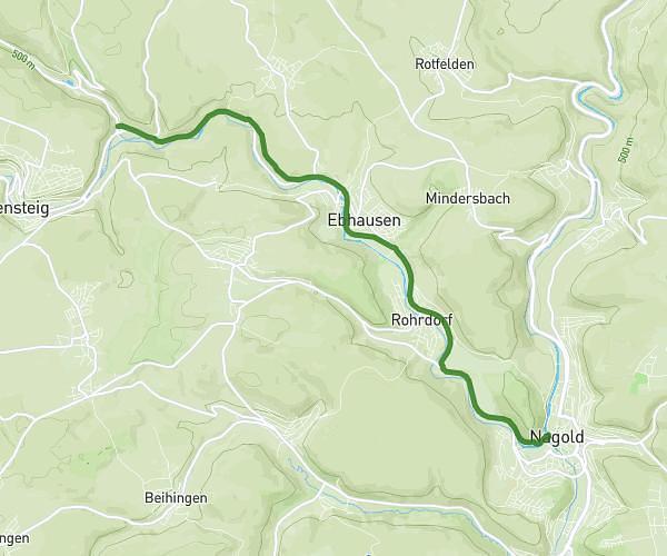
This running route covers 8.596mi starting from Freudenstadt, Baden-Württemberg. The run is a loop trail and returns to the trailhead. This run is rated as hard, expect about 1h32m to complete it. The route has an elevation gain of 925ft and an elevation loss of 919ft.
Banane
Route details
5.6mph
Speed
1052 kcal
Calories burned
Loop trail
Route type
2746ft
Min altitude
3018ft
Max altitude
Route profile
925ft
Elevation gain
919ft
Elevation loss
2746ft
Min altitude
3018ft
Max altitude
How to get there
Trailhead: Alter Weg 29, 72250 Freudenstadt, Germany
GPS coordinates of the trailhead: 48.473414, 8.305821 / 48°28'24'' N, 8°18'20'' E