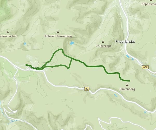
This running route covers 6.987mi starting from Altensteig, Baden-Württemberg. The run does not return to the trailhead and ends near Longwyplatz 1, 72202 Nagold, Germany. This run is rated as moderate, expect about 1h14m to complete it. The route has an elevation gain of 699ft and an elevation loss of 850ft.
Berneck_Longwy
Route details
5.59mph
Speed
857 kcal
Calories burned
Point to point
Route type
1296ft
Min altitude
1598ft
Max altitude
Route profile
699ft
Elevation gain
850ft
Elevation loss
1296ft
Min altitude
1598ft
Max altitude
How to get there
Trailhead: Warter Straße 4, 72213 Altensteig, Germany
GPS coordinates of the trailhead: 48.597169, 8.62529 / 48°35'49'' N, 8°37'31'' E