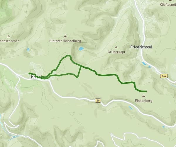
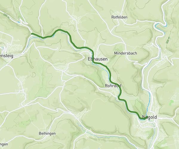
This running route covers 5.884mi starting from Altensteig, Baden-Württemberg. The run does not return to the trailhead and ends near Hochwaldstraße 1, 72226 Simmersfeld, Germany. This run is rated as moderate, expect about 1h3m to complete it. The route has an elevation gain of 853ft and an elevation loss of 518ft.
Hornberg_Simmersfeld_2
Route details
5.6mph
Speed
720 kcal
Calories burned
Point to point
Route type
2185ft
Min altitude
2566ft
Max altitude
Route profile
853ft
Elevation gain
518ft
Elevation loss
2185ft
Min altitude
2566ft
Max altitude
How to get there
Trailhead: Höhenstraße 31, 72213 Altensteig, Germany
GPS coordinates of the trailhead: 48.621259, 8.569006 / 48°37'16'' N, 8°34'8'' E