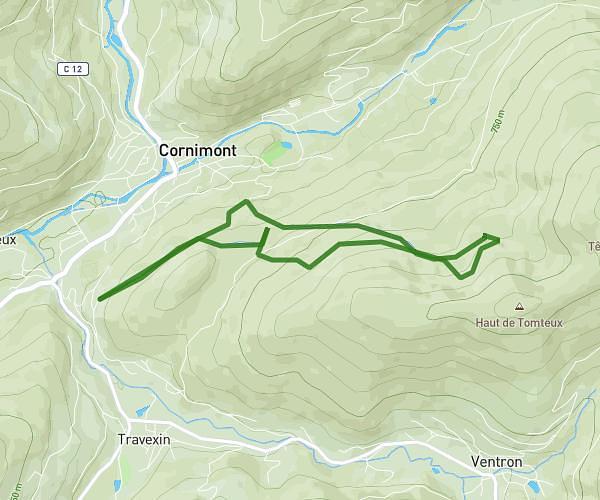
This running route covers 6.959mi starting from Soultzbach-les-Bains, Haut-Rhin. The run is a loop trail and returns to the trailhead. This run is rated as moderate, expect about 5h to complete it. The route has an elevation gain of 1693ft and an elevation loss of 1696ft.
Le Staufen et les ruines du Schrankenfels
Route details
1.39mph
Speed
3430 kcal
Calories burned
Loop trail
Route type
1014ft
Min altitude
2631ft
Max altitude
Route profile
1693ft
Elevation gain
1696ft
Elevation loss
1014ft
Min altitude
2631ft
Max altitude
How to get there
Trailhead: Rue De L'église, 68230 Soultzbach-les-Bains
GPS coordinates of the trailhead: 48.03828, 7.20329 / 48°2'17'' N, 7°12'11'' E