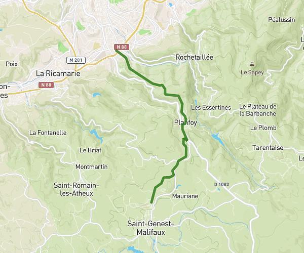
This running route covers 4.441mi starting from Saint-Étienne, Loire. The run is a loop trail and returns to the trailhead. This run is rated as easy, expect about 35m to complete it. The route has an elevation gain of 72ft and an elevation loss of 69ft.
Parcours 3
Route details
7.61mph
Speed
400 kcal
Calories burned
Loop trail
Route type
1588ft
Min altitude
1657ft
Max altitude
Route profile
72ft
Elevation gain
69ft
Elevation loss
1588ft
Min altitude
1657ft
Max altitude
How to get there
Trailhead: 9 Rue Du Sergent René Marie Rivière, 42000 Saint-Étienne, France
GPS coordinates of the trailhead: 45.442903, 4.39773 / 45°26'34'' N, 4°23'51'' E