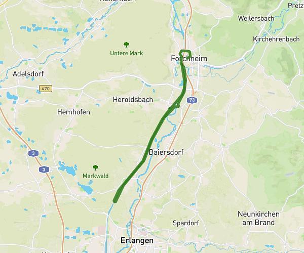
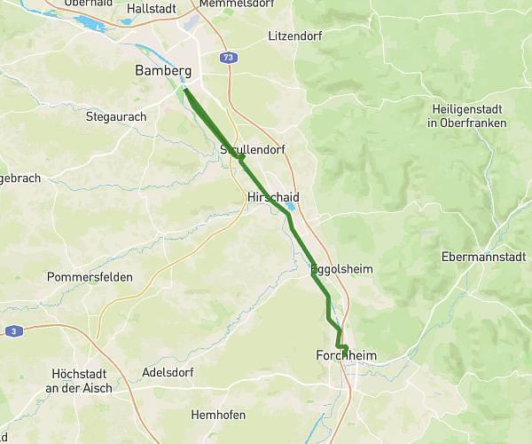
This hiking trail covers 2.712mi starting from Hirschaid, Bavaria. The hike is a loop trail and returns to the trailhead. This hike is rated as easy, plan for about 15m24s to complete it. The route has an elevation gain of 305ft and an elevation loss of 305ft.
Jogging+katzenkakaweg
Route details
10.56mph
Speed
112 kcal
Calories burned
4.3%
Avg grade
Loop trail
Route type
915ft
Min altitude
1106ft
Max altitude
Route profile
305ft
Elevation gain
305ft
Elevation loss
915ft
Min altitude
1106ft
Max altitude
How to get there
Trailhead: Hangstraße 8, 96114 Hirschaid, Germany
GPS coordinates of the trailhead: 49.825824, 11.023999 / 49°49'32'' N, 11°1'26'' E