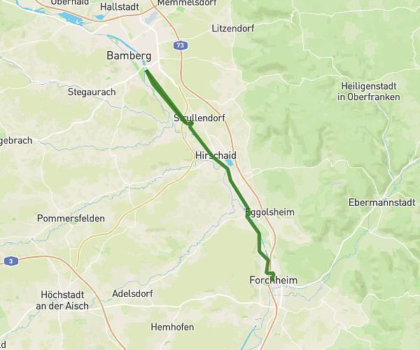
This hiking trail covers 16.931mi starting from Forchheim, Bavaria. The hike does not return to the trailhead and ends near Frankenschnellweg, 91301 Forchheim, Germany. This hike is rated as moderate, plan for about 53m to complete it. The route has an elevation gain of 341ft and an elevation loss of 364ft.
Rekord
Route details
19.17mph
Speed
373 kcal
Calories burned
0.8%
Avg grade
Point to point
Route type
833ft
Min altitude
915ft
Max altitude
Route profile
341ft
Elevation gain
364ft
Elevation loss
833ft
Min altitude
915ft
Max altitude
How to get there
Trailhead: Sattlertorstraße 19, 91301 Forchheim, Germany
GPS coordinates of the trailhead: 49.720086, 11.056114 / 49°43'12'' N, 11°3'22'' E