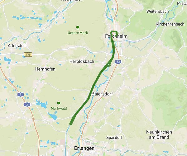
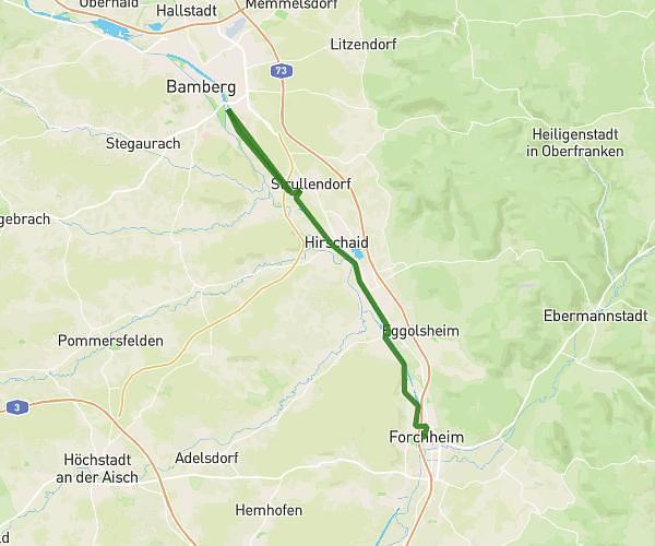
This hiking trail covers 18.542mi starting from Tuchenbach, Bavaria. The hike does not return to the trailhead and ends near Elsternstraße 1, 90587 Tuchenbach, Germany. This hike is rated as hard, plan for about 6h27m to complete it. The route has an elevation gain of 1076ft and an elevation loss of 1066ft.
Schabärweg
Route details
2.88mph
Speed
2759 kcal
Calories burned
2.2%
Avg grade
Point to point
Route type
968ft
Min altitude
1270ft
Max altitude
Route profile
1076ft
Elevation gain
1066ft
Elevation loss
968ft
Min altitude
1270ft
Max altitude
How to get there
Trailhead: Kornstraße 14, 90587 Tuchenbach, Germany
GPS coordinates of the trailhead: 49.527113, 10.866361 / 49°31'37'' N, 10°51'58'' E