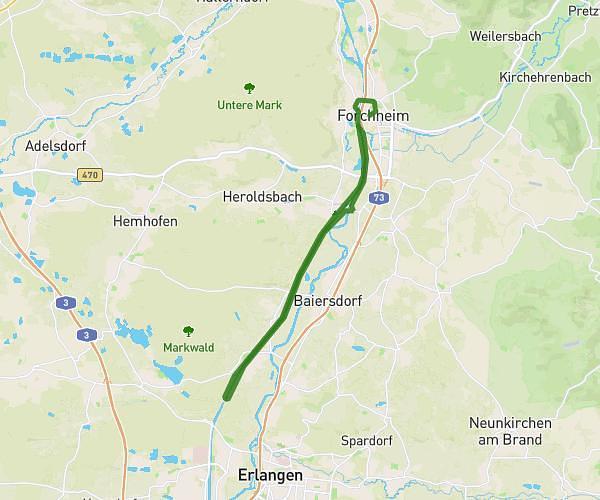
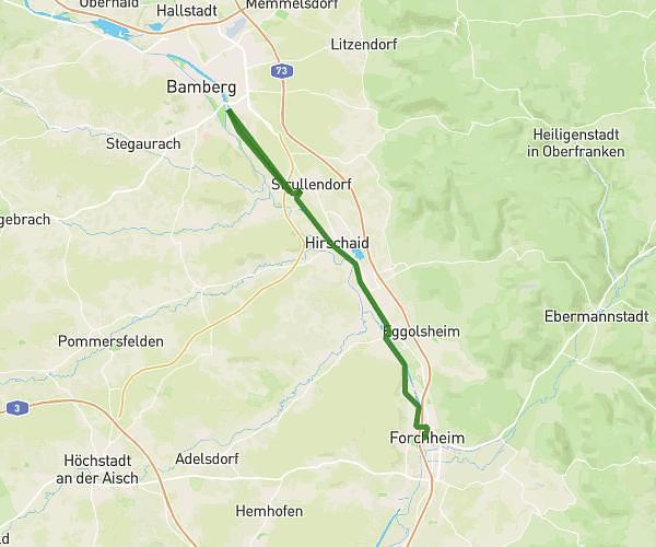
This hiking trail covers 18.626mi starting from Forchheim, Bavaria. The hike does not return to the trailhead and ends near B 505, 96129 Strullendorf, Germany. This hike is rated as moderate, plan for about 6h5m to complete it. The route has an elevation gain of 240ft and an elevation loss of 299ft.
Weltrekord stufe 1
Route details
3.06mph
Speed
2565 kcal
Calories burned
0.5%
Avg grade
Point to point
Route type
774ft
Min altitude
863ft
Max altitude
Route profile
240ft
Elevation gain
299ft
Elevation loss
774ft
Min altitude
863ft
Max altitude
How to get there
Trailhead: Sattlertorstraße 19, 91301 Forchheim, Germany
GPS coordinates of the trailhead: 49.720096, 11.056216 / 49°43'12'' N, 11°3'22'' E