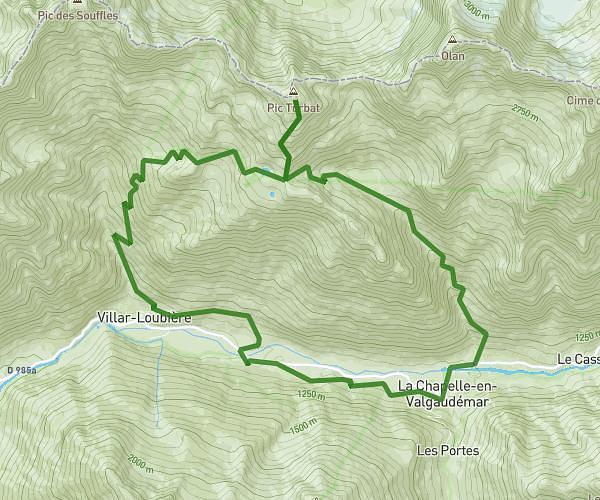
This running route covers 10.073mi starting from Dévoluy, Hautes-Alpes. The run is a loop trail and returns to the trailhead. This run is rated as hard, expect about 2h30m to complete it. The route has an elevation gain of 2224ft and an elevation loss of 2224ft.
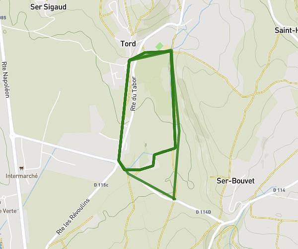
Devoluy ice approximatif
Route details
4.03mph
Speed
1715 kcal
Calories burned
Loop trail
Route type
4508ft
Min altitude
5689ft
Max altitude
Route profile
2224ft
Elevation gain
2224ft
Elevation loss
4508ft
Min altitude
5689ft
Max altitude
How to get there
Trailhead: Impasse De Beaume Baïsse, 05250 Dévoluy
GPS coordinates of the trailhead: 44.68595, 5.89697 / 44°41'9'' N, 5°53'49'' E