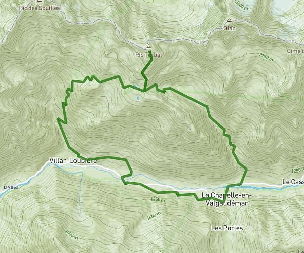
This running route covers 16.498mi starting from La Chapelle-en-Valgaudémar, Hautes-Alpes. The run is a loop trail and returns to the trailhead. This run is rated as strenuous, expect about 4h25m to complete it. The route has an elevation gain of 5869ft and an elevation loss of 5843ft.
valgaudemaur 3
Route details
3.73mph
Speed
3036 kcal
Calories burned
Loop trail
Route type
3219ft
Min altitude
7904ft
Max altitude
Route profile
5869ft
Elevation gain
5843ft
Elevation loss
3219ft
Min altitude
7904ft
Max altitude
How to get there
Trailhead: 634 Rue De Guillaume Peyrouse, 05800 La Chapelle-en-Valgaudémar, France
GPS coordinates of the trailhead: 44.81633, 6.19502 / 44°48'58'' N, 6°11'42'' E