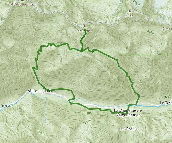
This running route covers 18.226mi starting from La Chapelle-en-Valgaudémar, Hautes-Alpes. The run does not return to the trailhead and ends near 05800, La Chapelle-en-Valgaudémar, Hautes-Alpes, France. This run is rated as strenuous, expect about 4h11m to complete it. The route has an elevation gain of 1483ft and an elevation loss of 1578ft.
Valgaudemaur 1
Route details
4.35mph
Speed
2875 kcal
Calories burned
Point to point
Route type
5804ft
Min altitude
7064ft
Max altitude
Route profile
1483ft
Elevation gain
1578ft
Elevation loss
5804ft
Min altitude
7064ft
Max altitude
How to get there
Trailhead: D 480, 05800 La Chapelle-en-Valgaudémar, France
GPS coordinates of the trailhead: 44.84147, 6.28101 / 44°50'29'' N, 6°16'51'' E