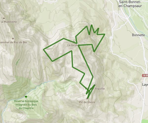
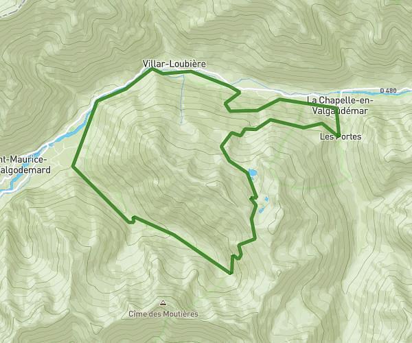
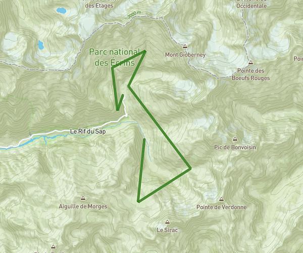
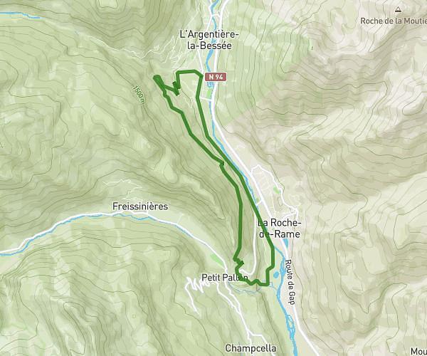
This running route covers 14.598mi starting from La Chapelle-en-Valgaudémar, Hautes-Alpes. The run is a loop trail and returns to the trailhead. This run is rated as strenuous, expect about 3h54m to complete it. The route has an elevation gain of 4072ft and an elevation loss of 5226ft.
valgaudemaur 2
Route details
3.73mph
Speed
2686 kcal
Calories burned
Loop trail
Route type
2448ft
Min altitude
7664ft
Max altitude
Route profile
4072ft
Elevation gain
5226ft
Elevation loss
2448ft
Min altitude
7664ft
Max altitude
How to get there
Trailhead: D 480, 05800 La Chapelle-en-Valgaudémar, France
GPS coordinates of the trailhead: 44.82052, 6.20051 / 44°49'13'' N, 6°12'1'' E