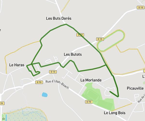
This walking route covers 2.369mi starting from Saint-Hilaire-du-Harcouët, Manche. The walk is a loop trail and returns to the trailhead. This walk is rated as easy, plan for about 1h to complete it. The route has an elevation gain of 161ft and an elevation loss of 161ft.
Le bourg
Route details
25:21/mi
Pace
245 kcal
Calories burned
Loop trail
Route type
335ft
Min altitude
390ft
Max altitude
Route profile
161ft
Elevation gain
161ft
Elevation loss
335ft
Min altitude
390ft
Max altitude
How to get there
Trailhead: Route De La Croix Plantée, 50600 Saint-Hilaire-du-Harcouët
GPS coordinates of the trailhead: 48.58769, -1.13218 / 48°35'15'' N, 1°7'55'' W