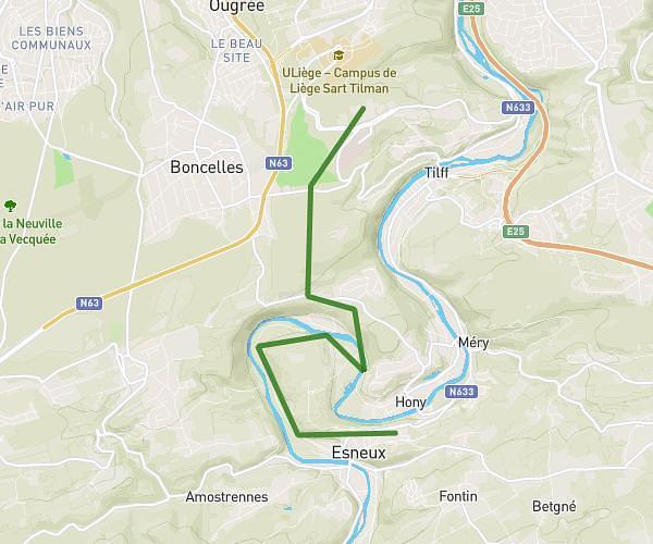
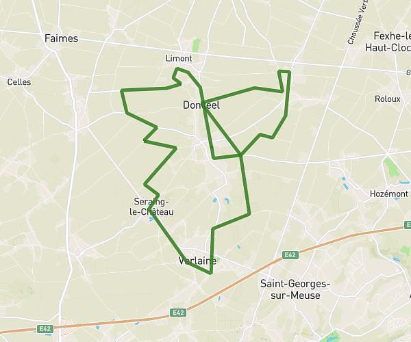
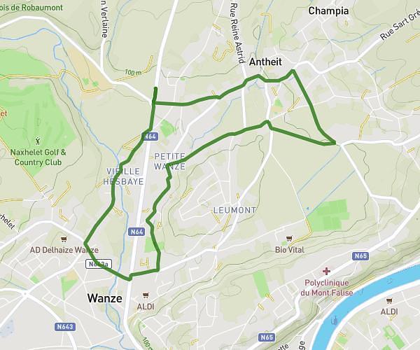
This running route covers 16.527mi starting from Remicourt, Liege. The run is a loop trail and returns to the trailhead. This run is rated as strenuous, expect about 2h57m to complete it. The route has an elevation gain of 59ft and an elevation loss of 82ft.
Donceel
Route details
5.6mph
Speed
2024 kcal
Calories burned
Loop trail
Route type
413ft
Min altitude
495ft
Max altitude
Route profile
59ft
Elevation gain
82ft
Elevation loss
413ft
Min altitude
495ft
Max altitude
How to get there
Trailhead: Rue De La Résistance 100, 4350 Remicourt, Liege, Belgium
GPS coordinates of the trailhead: 50.68994, 5.33178 / 50°41'23'' N, 5°19'54'' E