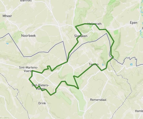
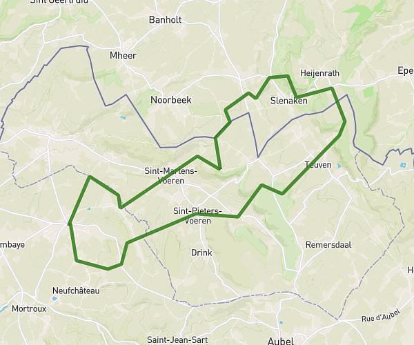
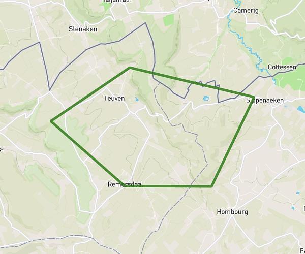
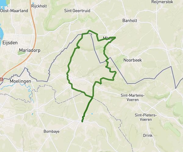
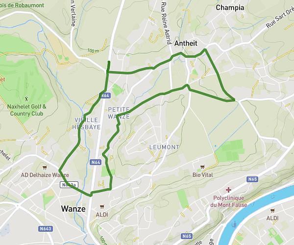
This running route covers 6.243mi starting from Liège, Liege. The run is a loop trail and returns to the trailhead. This run is rated as moderate, expect about 41m58s to complete it. The route has an elevation gain of 30ft and an elevation loss of 7ft.
1er 10Km
Route details
8.92mph
Speed
480 kcal
Calories burned
Loop trail
Route type
217ft
Min altitude
246ft
Max altitude
Route profile
30ft
Elevation gain
7ft
Elevation loss
217ft
Min altitude
246ft
Max altitude
How to get there
Trailhead: Rue Vinâve 164, 4030 Liège, Liege, Belgium
GPS coordinates of the trailhead: 50.6163, 5.60895 / 50°36'58'' N, 5°36'32'' E