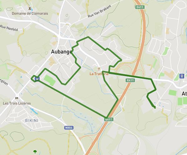
This running route covers 4.239mi starting from Rouvroy, Luxembourg. The run is a loop trail and returns to the trailhead. This run is rated as easy, expect about 29m53s to complete it. The route has an elevation gain of 492ft and an elevation loss of 492ft.
Reprise trail
Route details
8.51mph
Speed
342 kcal
Calories burned
Loop trail
Route type
620ft
Min altitude
1020ft
Max altitude
Route profile
492ft
Elevation gain
492ft
Elevation loss
620ft
Min altitude
1020ft
Max altitude
How to get there
Trailhead: Aux Bidaux 28, 6767 Rouvroy, Luxembourg, Belgium
GPS coordinates of the trailhead: 49.52473, 5.4845 / 49°31'29'' N, 5°29'4'' E