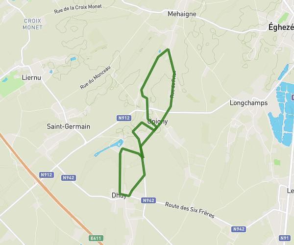
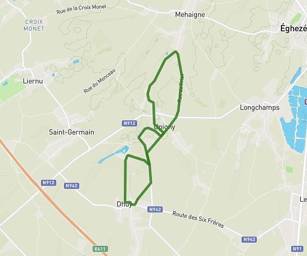
This running route covers 7.378mi starting from Eghezée, Namur. The run does not return to the trailhead and ends near Route De Gembloux 130, 5310 Eghezée, Namur, Belgium. This run is rated as moderate, expect about 59m21s to complete it. The route has an elevation gain of 171ft and an elevation loss of 164ft.
12km
Route details
7.46mph
Speed
679 kcal
Calories burned
Point to point
Route type
466ft
Min altitude
548ft
Max altitude
Route profile
171ft
Elevation gain
164ft
Elevation loss
466ft
Min altitude
548ft
Max altitude
How to get there
Trailhead: Rue Du Monceau 5, 5310 Eghezée, Namur, Belgium
GPS coordinates of the trailhead: 50.59104, 4.87258 / 50°35'27'' N, 4°52'21'' E