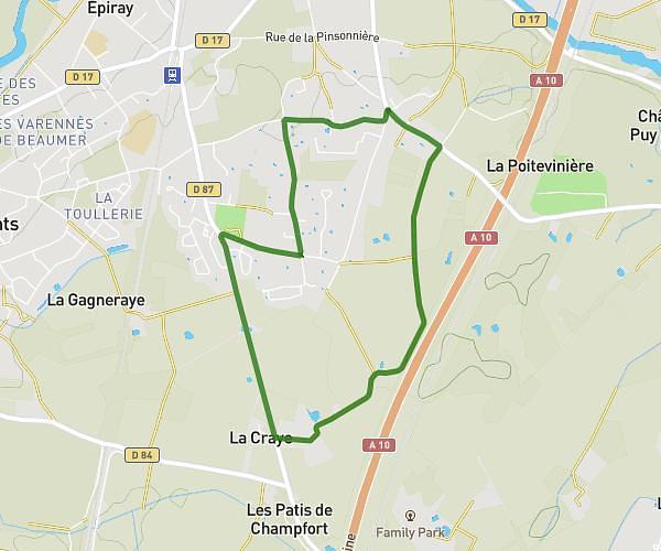
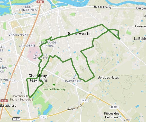
This running route covers 10.65mi starting from Saint-Avertin, Indre-et-Loire. The run is a loop trail and returns to the trailhead. This run is rated as hard, expect about 1h54m to complete it. The route has an elevation gain of 495ft and an elevation loss of 502ft.
dje
Route details
5.59mph
Speed
1306 kcal
Calories burned
Loop trail
Route type
243ft
Min altitude
322ft
Max altitude
Route profile
495ft
Elevation gain
502ft
Elevation loss
243ft
Min altitude
322ft
Max altitude
How to get there
Trailhead: 20 Rue Jules Romains, 37550 Saint-Avertin, France
GPS coordinates of the trailhead: 47.35621, 0.72236 / 47°21'22'' N, 0°43'20'' E