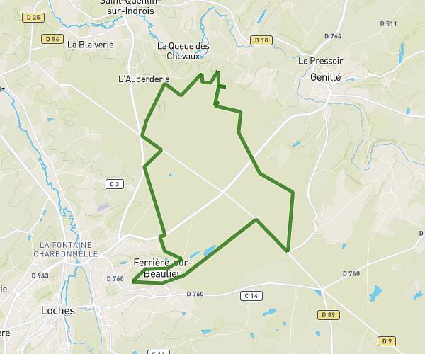
This running route covers 3.253mi starting from Cormery, Indre-et-Loire. The run is a loop trail and returns to the trailhead. This run is rated as easy, expect about 35m to complete it. The route has an elevation gain of 26ft and an elevation loss of 89ft.
boucle 5km
Route details
5.58mph
Speed
400 kcal
Calories burned
Loop trail
Route type
210ft
Min altitude
299ft
Max altitude
Route profile
26ft
Elevation gain
89ft
Elevation loss
210ft
Min altitude
299ft
Max altitude
How to get there
Trailhead: 14 Rue Des Caves, 37320 Cormery, France
GPS coordinates of the trailhead: 47.266402, 0.836705 / 47°15'59'' N, 0°50'12'' E