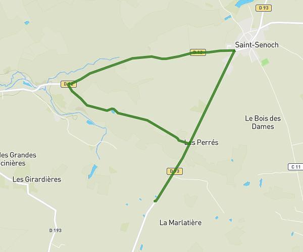
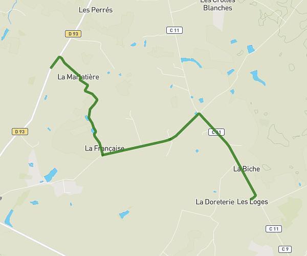
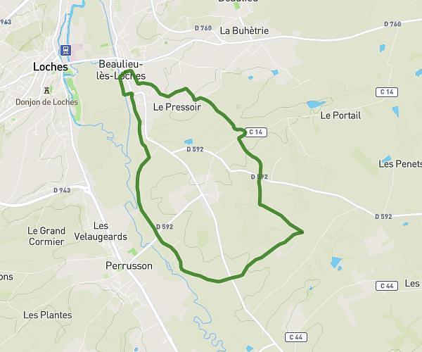
This running route covers 5.6mi starting from Saint-Senoch, Indre-et-Loire. The run is a loop trail and returns to the trailhead. This run is rated as moderate, expect about 1h to complete it. The route has an elevation gain of 210ft and an elevation loss of 207ft.
course saint senoch
Route details
5.6mph
Speed
686 kcal
Calories burned
Loop trail
Route type
410ft
Min altitude
479ft
Max altitude
Route profile
210ft
Elevation gain
207ft
Elevation loss
410ft
Min altitude
479ft
Max altitude
How to get there
Trailhead: 2 Place De La Mairie, 37600 Saint-Senoch, France
GPS coordinates of the trailhead: 47.046422, 0.968463 / 47°2'47'' N, 0°58'6'' E