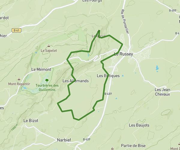
This hiking trail covers 2.075mi starting from Villeret, Bern. The hike does not return to the trailhead and ends near Chemin De La Combe À Maillet, 2613 Villeret. This hike is rated as moderate, plan for about 1h6m to complete it. The route has an elevation gain of 1978ft and an elevation loss of 233ft.
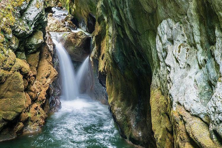
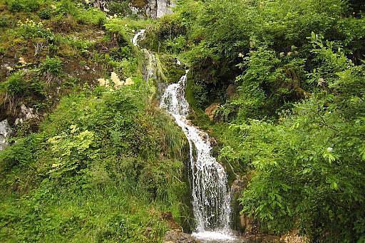
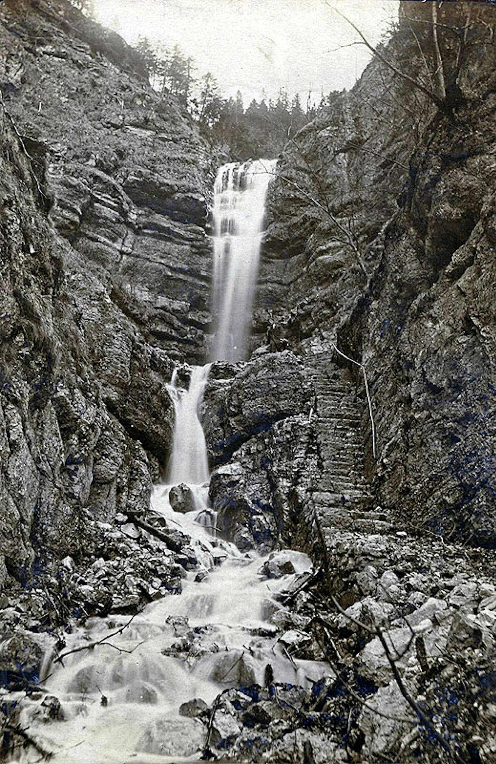
Cascade de combe Grède
Route details
1.86mph
Speed
608 kcal
Calories burned
20.2%
Avg grade
Point to point
Route type
2454ft
Min altitude
4199ft
Max altitude
Steep climb
Route profile
1978ft
Elevation gain
233ft
Elevation loss
2454ft
Min altitude
4199ft
Max altitude
How to get there
Trailhead: Combe-Grède, 2613 Villeret
GPS coordinates of the trailhead: 47.15777, 7.01988 / 47°9'27'' N, 7°1'11'' E