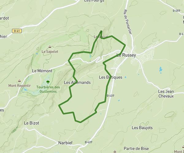
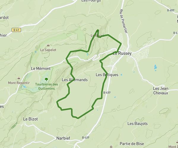
This hiking trail covers 5.0mi starting from Boudry, Neuchâtel. The hike does not return to the trailhead and ends near Passerelle Des Moyats, 2149 Champ-du-Moulin. This hike is rated as hard, plan for about 2h40m to complete it. The route has an elevation gain of 1437ft and an elevation loss of 650ft.
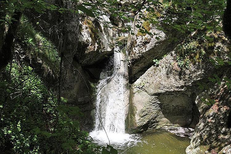
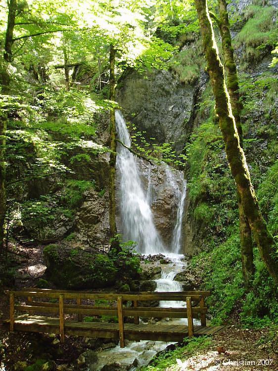
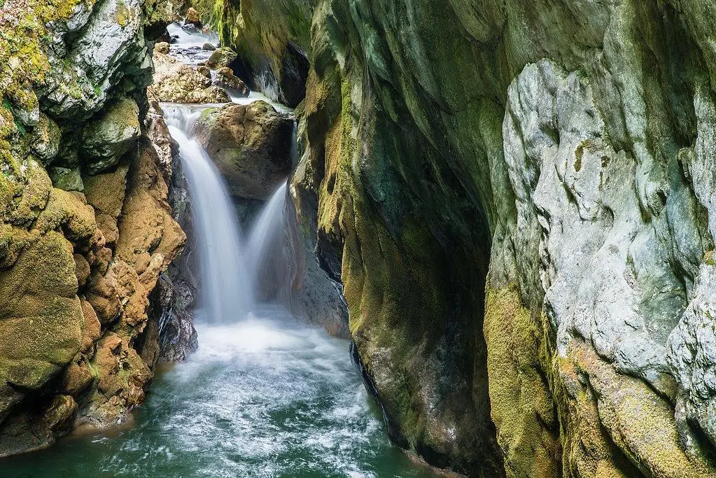
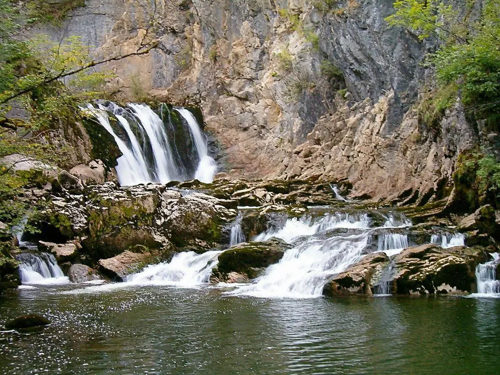
Cascades de l'Areuse
Route details
1.86mph
Speed
1229 kcal
Calories burned
7.9%
Avg grade
Point to point
Route type
1519ft
Min altitude
2306ft
Max altitude
Route profile
1437ft
Elevation gain
650ft
Elevation loss
1519ft
Min altitude
2306ft
Max altitude
How to get there
Trailhead: Chemin Des Clées, 2017 Boudry
GPS coordinates of the trailhead: 46.95915, 6.82898 / 46°57'32'' N, 6°49'44'' E