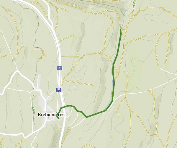
This hiking trail covers 0.716mi starting from Sainte-Croix, Vaud. The hike does not return to the trailhead and ends near 149, 1450 Sainte-Croix. This hike is rated as moderate, plan for about 23m2s to complete it. The route has an elevation gain of 285ft and an elevation loss of 400ft.
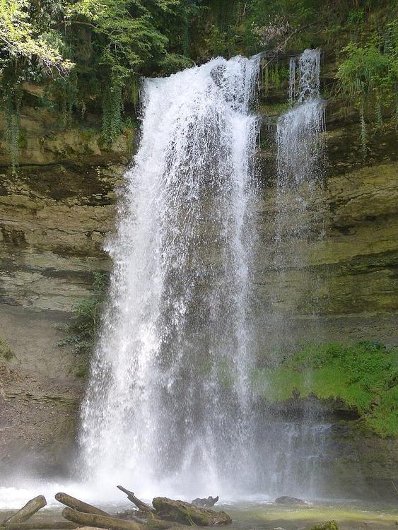
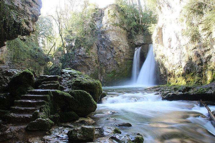
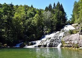
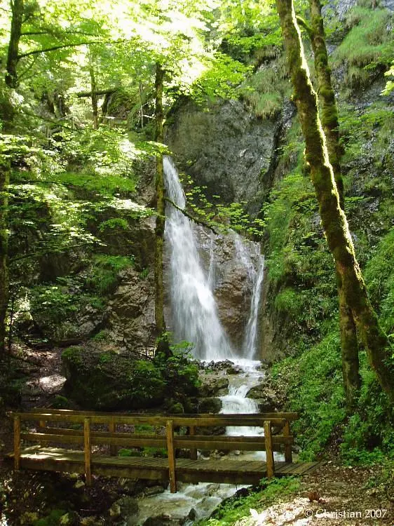
Saut de l'eau
Route details
1.86mph
Speed
182 kcal
Calories burned
18.1%
Avg grade
Point to point
Route type
3727ft
Min altitude
4006ft
Max altitude
Steep climb
Route profile
285ft
Elevation gain
400ft
Elevation loss
3727ft
Min altitude
4006ft
Max altitude
How to get there
Trailhead: Rue Des Rasses, 1450 Sainte-Croix
GPS coordinates of the trailhead: 46.83782, 6.50441 / 46°50'16'' N, 6°30'15'' E