This hiking trail covers 0.83mi starting from Montancy, Doubs. The hike does not return to the trailhead and ends near Les Closures, 2886 Montancy. This hike is rated as easy, plan for about 26m43s to complete it. The route has an elevation gain of 469ft and an elevation loss of 3ft.
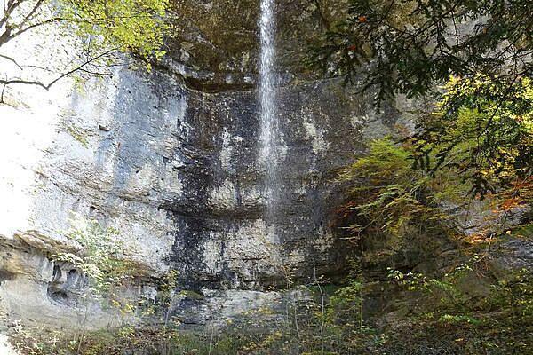
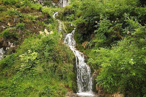
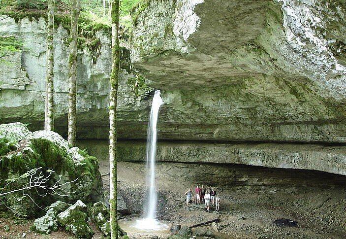
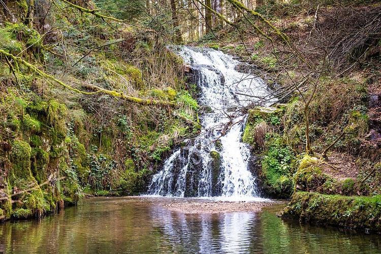
Cascade de Fresnois
Route details
1.86mph
Speed
220 kcal
Calories burned
10.8%
Avg grade
Point to point
Route type
1394ft
Min altitude
1860ft
Max altitude
Steep climb
Route profile
469ft
Elevation gain
3ft
Elevation loss
1394ft
Min altitude
1860ft
Max altitude
How to get there
Trailhead: Rue Principale, 25190 Montancy
GPS coordinates of the trailhead: 47.34643, 7.04747 / 47°20'47'' N, 7°2'50'' E