This hiking trail covers 0.466mi starting from Saint-Ursanne, Jura. The hike does not return to the trailhead and ends near Route St-Ursanne-Soubey, 2884 Saint-Ursanne. This hike is rated as moderate, plan for about 15m to complete it. The route has an elevation gain of 512ft and an elevation loss of 3ft.
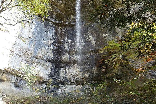
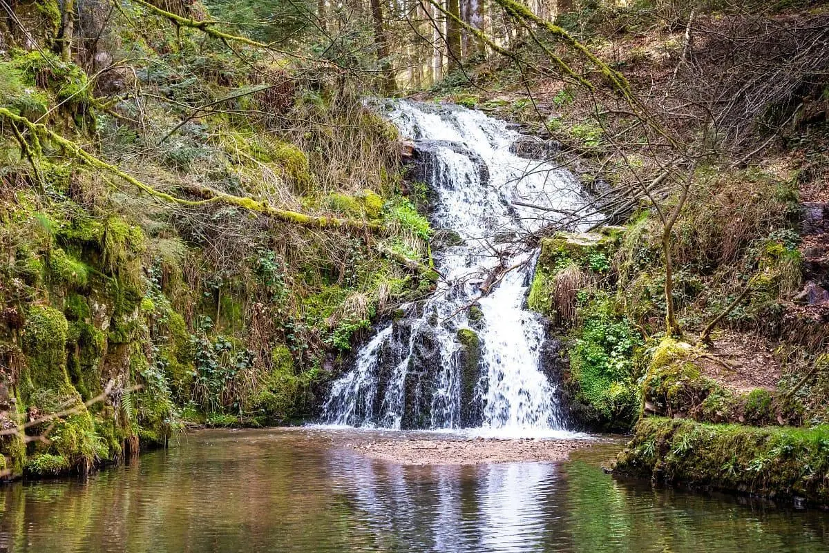
Cascade de Montenol
Route details
1.86mph
Speed
141 kcal
Calories burned
20.9%
Avg grade
Point to point
Route type
1434ft
Min altitude
1946ft
Max altitude
Steep climb
Route profile
512ft
Elevation gain
3ft
Elevation loss
1434ft
Min altitude
1946ft
Max altitude
How to get there
Trailhead: Route De La Cernie, 2882 Saint-Ursanne
GPS coordinates of the trailhead: 47.35843, 7.14382 / 47°21'30'' N, 7°8'37'' E