This hiking trail covers 0.791mi starting from Undervelier, Jura. The hike does not return to the trailhead and ends near 526, 2716 Sornetan. This hike is rated as moderate, plan for about 25m27s to complete it. The route has an elevation gain of 541ft and an elevation loss of 295ft.
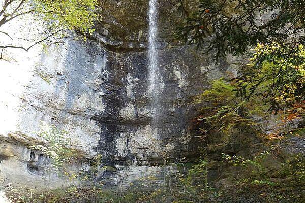
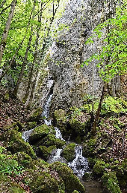
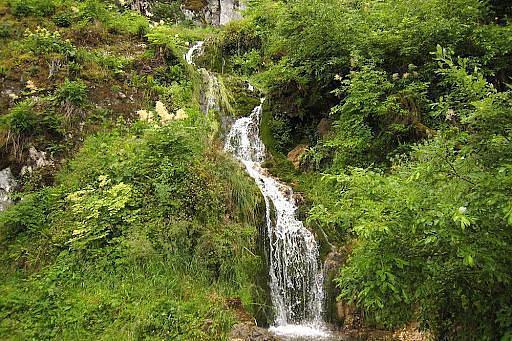
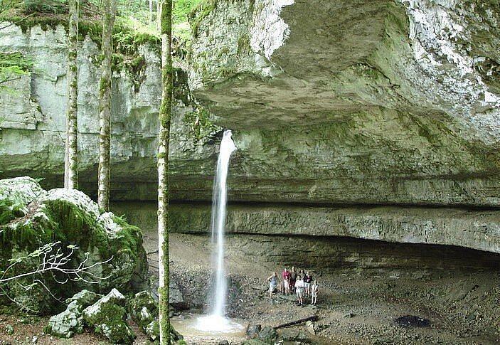
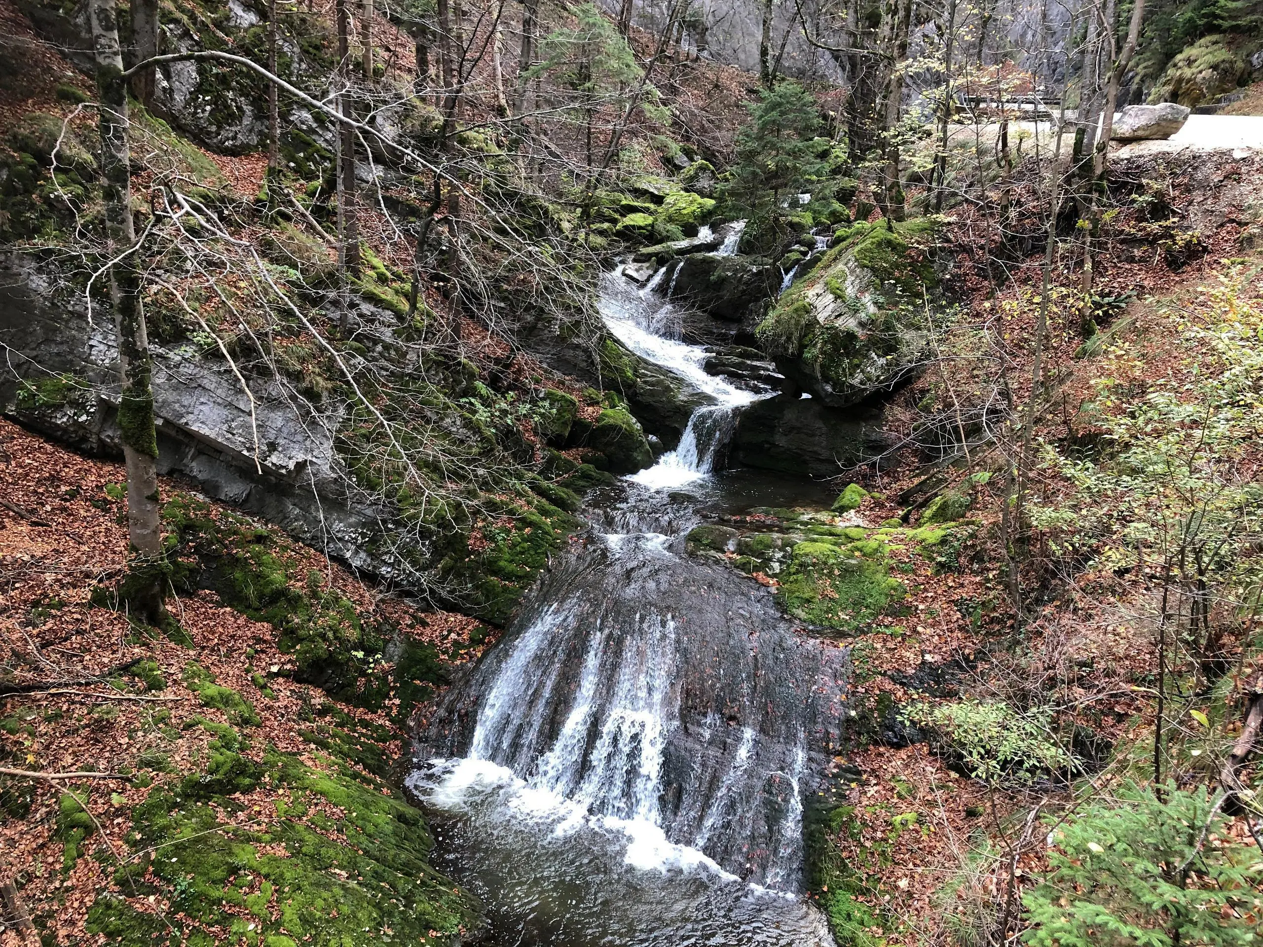
cascades de la Sorne
Route details
1.86mph
Speed
217 kcal
Calories burned
20.0%
Avg grade
Point to point
Route type
1955ft
Min altitude
2283ft
Max altitude
Steep climb
Route profile
541ft
Elevation gain
295ft
Elevation loss
1955ft
Min altitude
2283ft
Max altitude
How to get there
Trailhead: 526, 2863 Undervelier
GPS coordinates of the trailhead: 47.28994, 7.22186 / 47°17'23'' N, 7°13'18'' E