This hiking trail covers 1.109mi starting from Charquemont, Doubs. The hike does not return to the trailhead and ends near Les Prés-Derrière, 2336 Charquemont. This hike is rated as easy, plan for about 35m40s to complete it. The route has an elevation gain of 292ft and an elevation loss of 246ft.
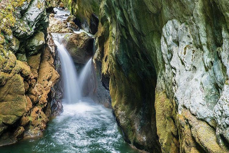
Cascade de la Crampoulotte
Route details
1.86mph
Speed
270 kcal
Calories burned
9.2%
Avg grade
Point to point
Route type
1808ft
Min altitude
1913ft
Max altitude
Steep climb
Route profile
292ft
Elevation gain
246ft
Elevation loss
1808ft
Min altitude
1913ft
Max altitude
How to get there
Trailhead: Route Du Refrain, 25140 Charquemont
GPS coordinates of the trailhead: 47.18689, 6.87297 / 47°11'12'' N, 6°52'22'' E