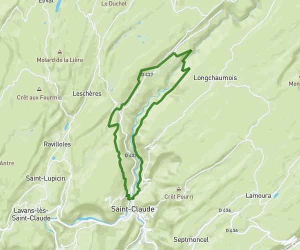
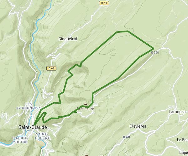
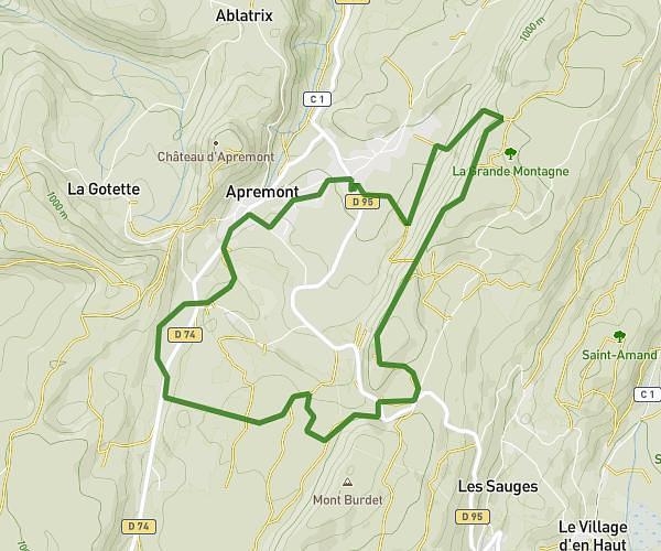
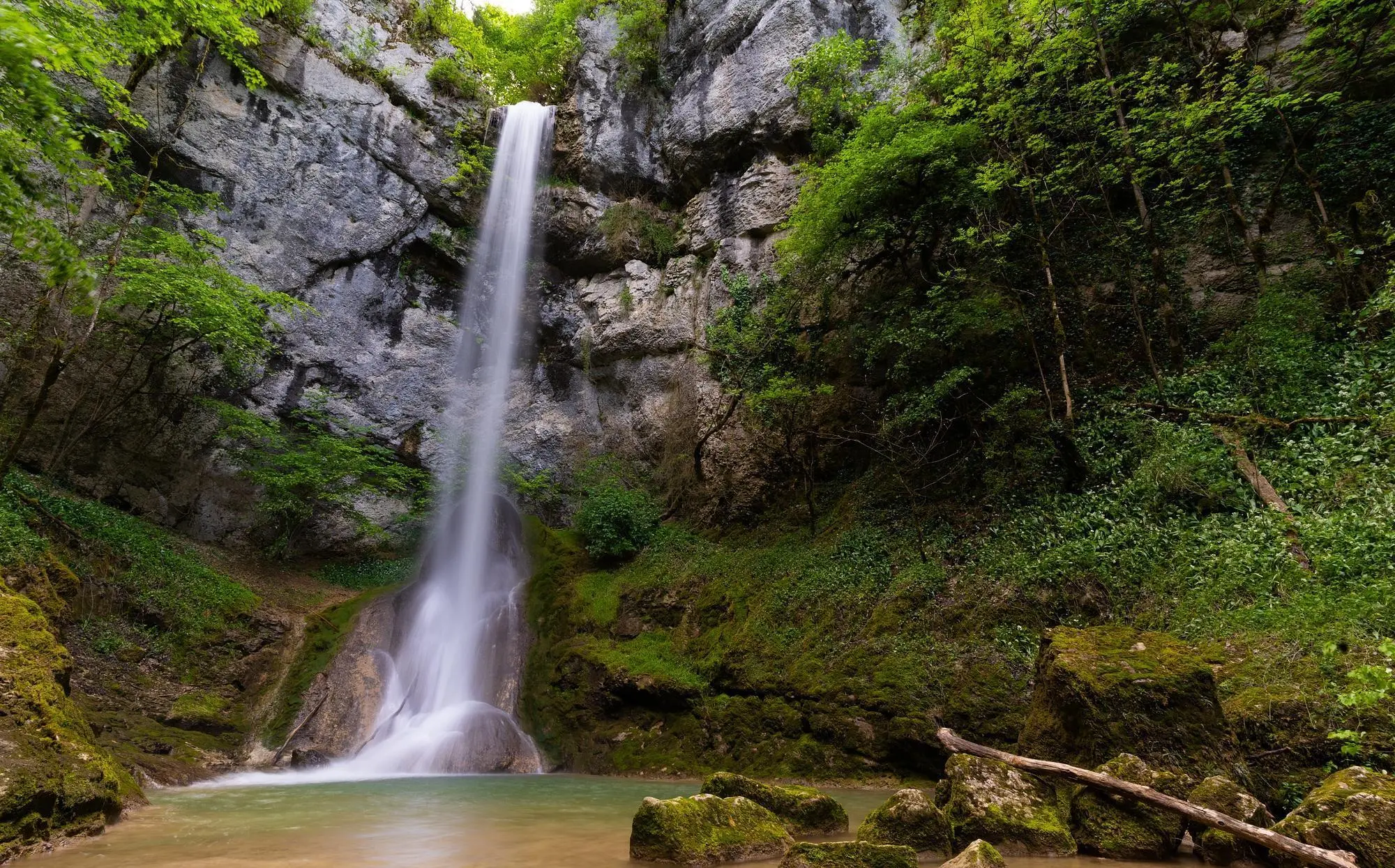
This hiking trail covers 0.413mi starting from Valzin en Petite Montagne, Jura. The hike does not return to the trailhead and ends near C 2, 39240 Valzin en Petite Montagne. This hike is rated as easy, plan for about 13m16s to complete it. The route has an elevation gain of 203ft and an elevation loss of 20ft.
Cascade de Quinquenouille
Route details
1.86mph
Speed
107 kcal
Calories burned
10.2%
Avg grade
Point to point
Route type
1161ft
Min altitude
1355ft
Max altitude
Steep climb
Route profile
203ft
Elevation gain
20ft
Elevation loss
1161ft
Min altitude
1355ft
Max altitude
How to get there
Trailhead: Route De Dramelay, 39240 Valzin en Petite Montagne
GPS coordinates of the trailhead: 46.42086, 5.54497 / 46°25'15'' N, 5°32'41'' E