This hiking trail covers 0.403mi starting from Myon, Doubs. The hike does not return to the trailhead and ends near D 273, 25440 Myon, France. This hike is rated as easy, plan for about 12m57s to complete it. The route has an elevation gain of 7ft and an elevation loss of 138ft.
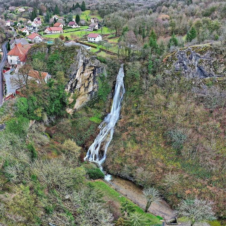
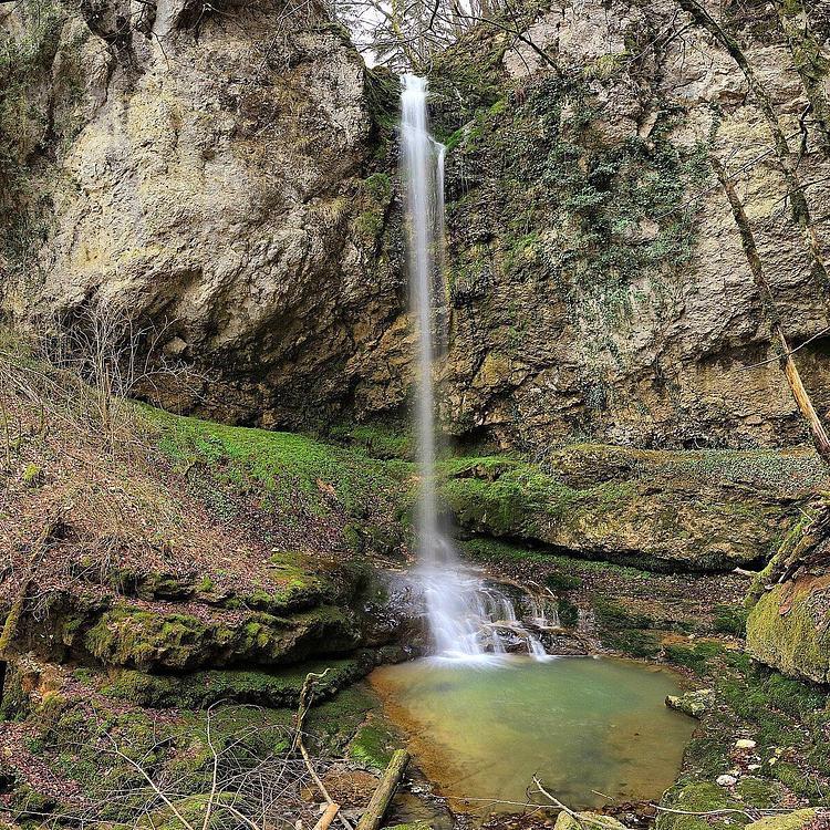
Cascade du gour de conche
Route details
1.86mph
Speed
91 kcal
Calories burned
6.8%
Avg grade
Point to point
Route type
1378ft
Min altitude
1516ft
Max altitude
Route profile
7ft
Elevation gain
138ft
Elevation loss
1378ft
Min altitude
1516ft
Max altitude
How to get there
Trailhead: D 102, 25440 Myon, France
GPS coordinates of the trailhead: 46.98942, 5.92009 / 46°59'21'' N, 5°55'12'' E