This hiking trail covers 0.333mi starting from Surjoux-Lhopital, Ain. The hike is a loop trail and returns to the trailhead. This hike is rated as easy, plan for about 10m43s to complete it. The route has an elevation gain of 131ft and an elevation loss of 131ft.
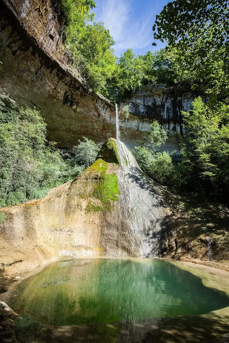
cascade du pain de sucre Surjoux
Route details
1.86mph
Speed
84 kcal
Calories burned
14.9%
Avg grade
Loop trail
Route type
886ft
Min altitude
1017ft
Max altitude
Steep climb
Route profile
131ft
Elevation gain
131ft
Elevation loss
886ft
Min altitude
1017ft
Max altitude
How to get there
Trailhead: Route Du Pain De Sucre, 01420 Surjoux-Lhopital
GPS coordinates of the trailhead: 46.02016, 5.80764 / 46°1'12'' N, 5°48'27'' E