This hiking trail covers 0.499mi starting from Saint-Claude, Jura. The hike does not return to the trailhead and ends near Cinquetral, 39400 Longchaumois. This hike is rated as moderate, plan for about 16m3s to complete it. The route has an elevation gain of 427ft and an elevation loss of 85ft.
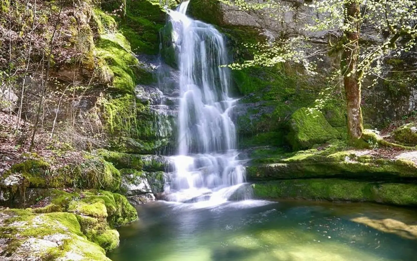
Cascades de Pissevieille
Route details
1.86mph
Speed
143 kcal
Calories burned
19.4%
Avg grade
Point to point
Route type
1565ft
Min altitude
1926ft
Max altitude
Steep climb
Route profile
427ft
Elevation gain
85ft
Elevation loss
1565ft
Min altitude
1926ft
Max altitude
How to get there
Trailhead: Cinquetral, 39200 Saint-Claude
GPS coordinates of the trailhead: 46.45419, 5.89143 / 46°27'15'' N, 5°53'29'' E


