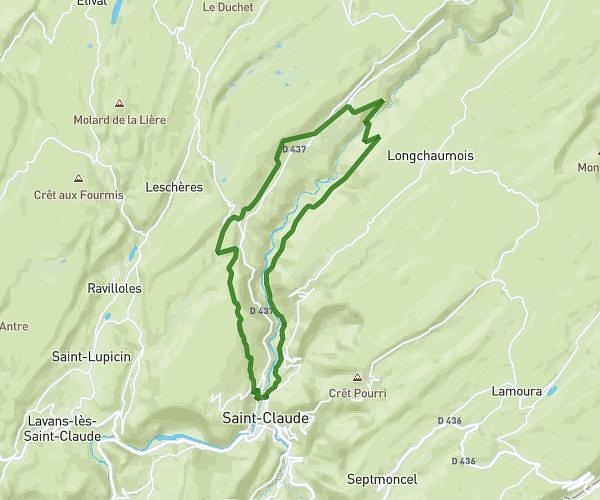
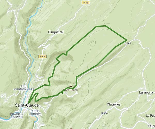
This hiking trail covers 2.011mi starting from Divonne-les-Bains, Ain. The hike does not return to the trailhead and ends near 39 Place De L'église, 01220 Divonne-les-Bains, France. This hike is rated as easy, plan for about 40m to complete it. The route has an elevation gain of 92ft and an elevation loss of 466ft.
raid
Route details
3.01mph
Speed
284 kcal
Calories burned
5.3%
Avg grade
Point to point
Route type
1565ft
Min altitude
1939ft
Max altitude
Route profile
92ft
Elevation gain
466ft
Elevation loss
1565ft
Min altitude
1939ft
Max altitude
How to get there
Trailhead: 345 Chemin De La Toupe, 01220 Divonne-les-Bains, France
GPS coordinates of the trailhead: 46.363968, 6.108666 / 46°21'50'' N, 6°6'31'' E