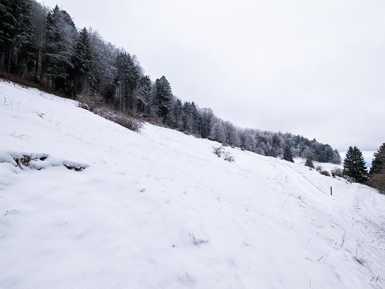
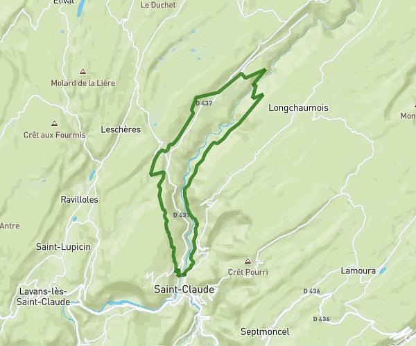
This hiking trail covers 19.965mi starting from Sergy, Ain. The hike does not return to the trailhead and ends near 345 Chemin De La Toupe, 01220 Divonne-les-Bains, France. This hike is rated as strenuous, plan for about 8h1m to complete it. The route has an elevation gain of 5207ft and an elevation loss of 4948ft.
raid
Route details
2.49mph
Speed
3651 kcal
Calories burned
9.6%
Avg grade
Point to point
Route type
1729ft
Min altitude
2598ft
Max altitude
Steep climb
Route profile
5207ft
Elevation gain
4948ft
Elevation loss
1729ft
Min altitude
2598ft
Max altitude
How to get there
Trailhead: 242 Chemin De La Ramaz, 01630 Sergy, France
GPS coordinates of the trailhead: 46.260701, 5.991196 / 46°15'38'' N, 5°59'28'' E