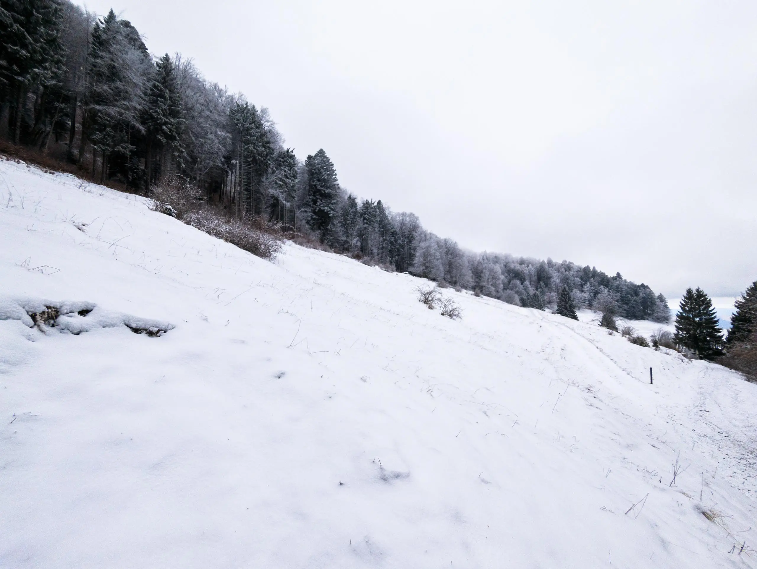
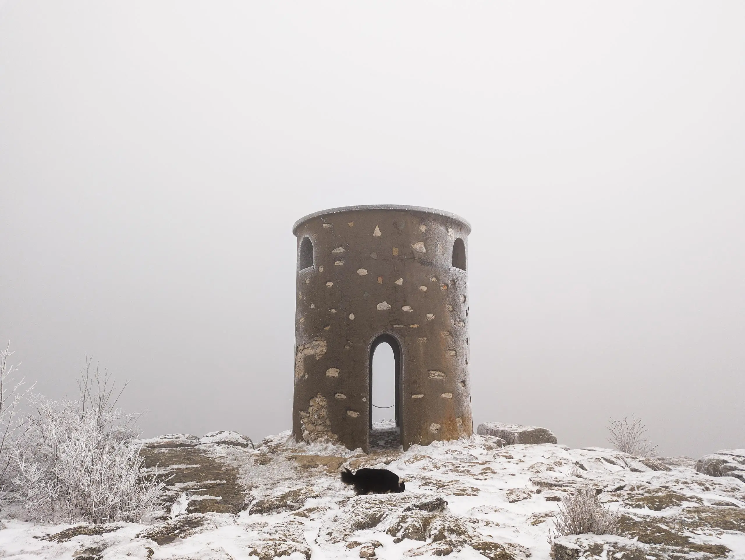
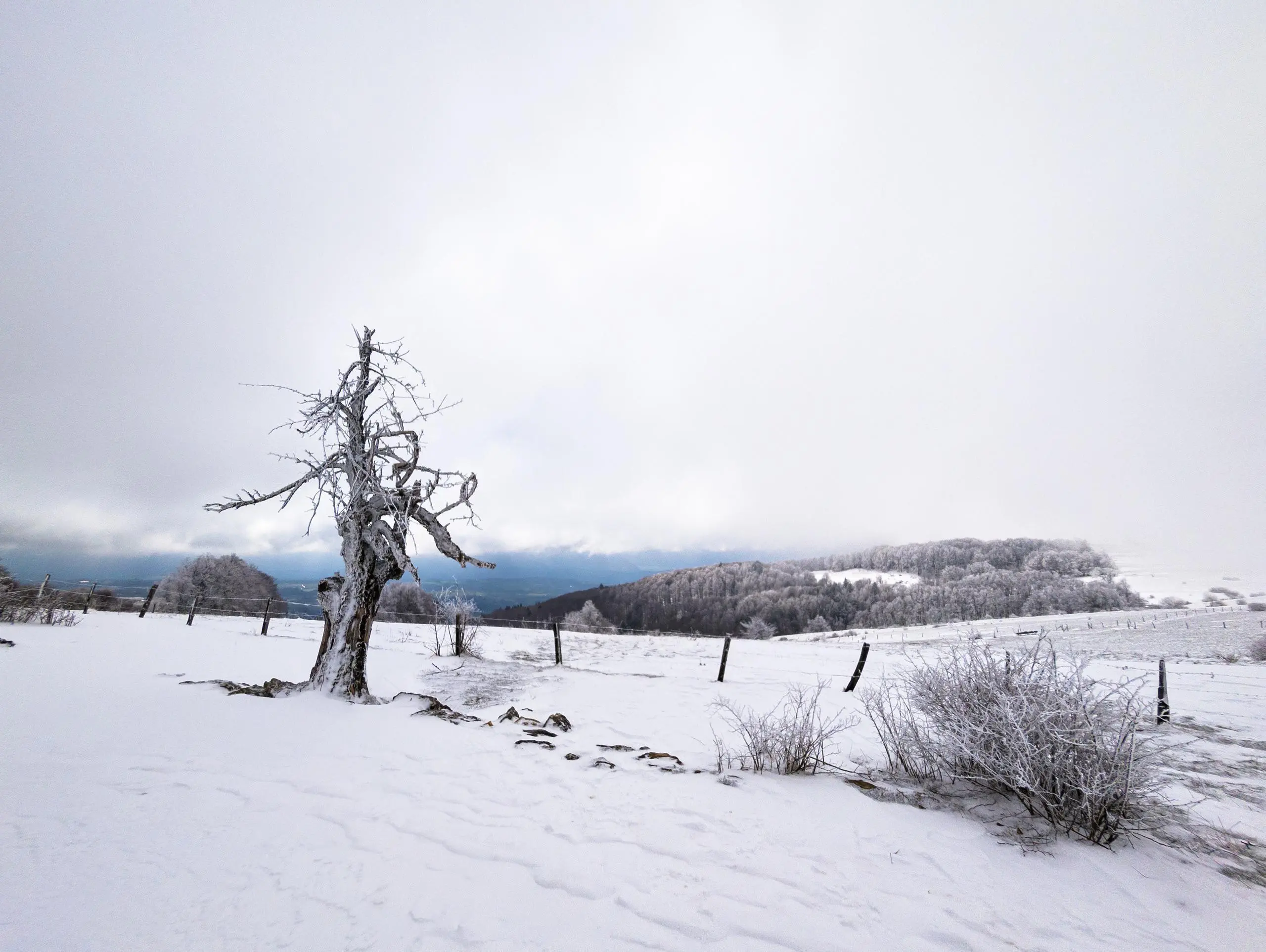
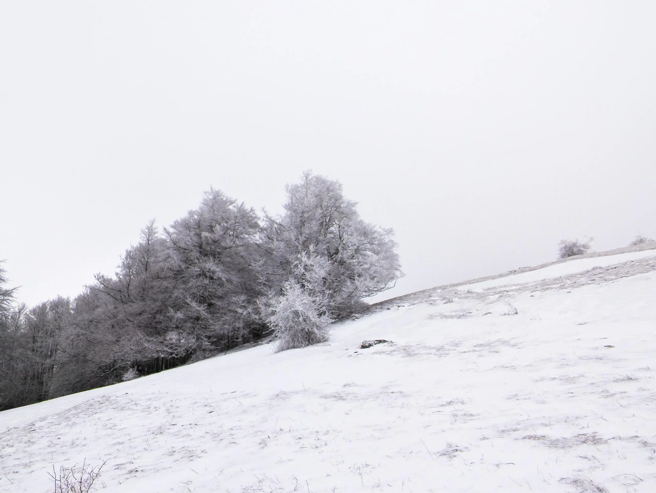
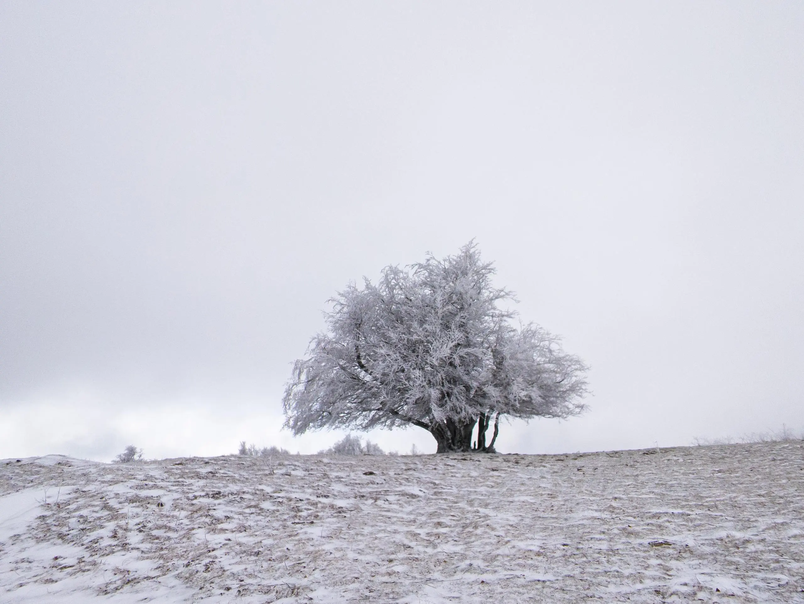
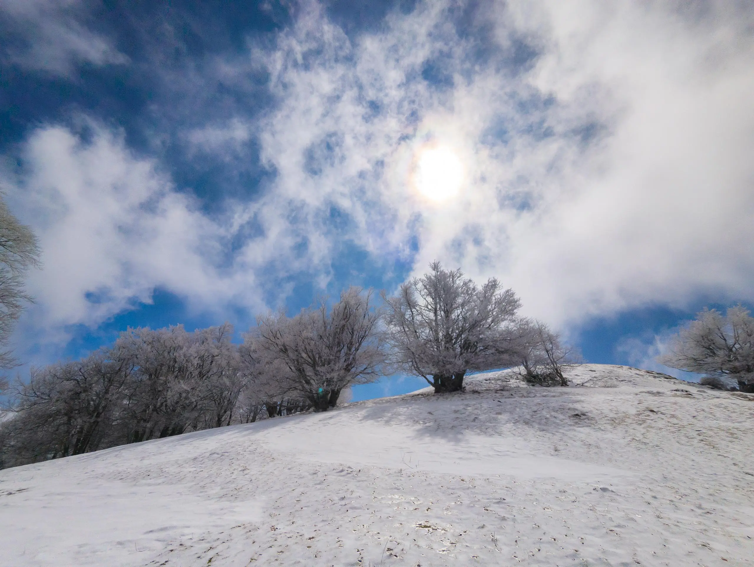
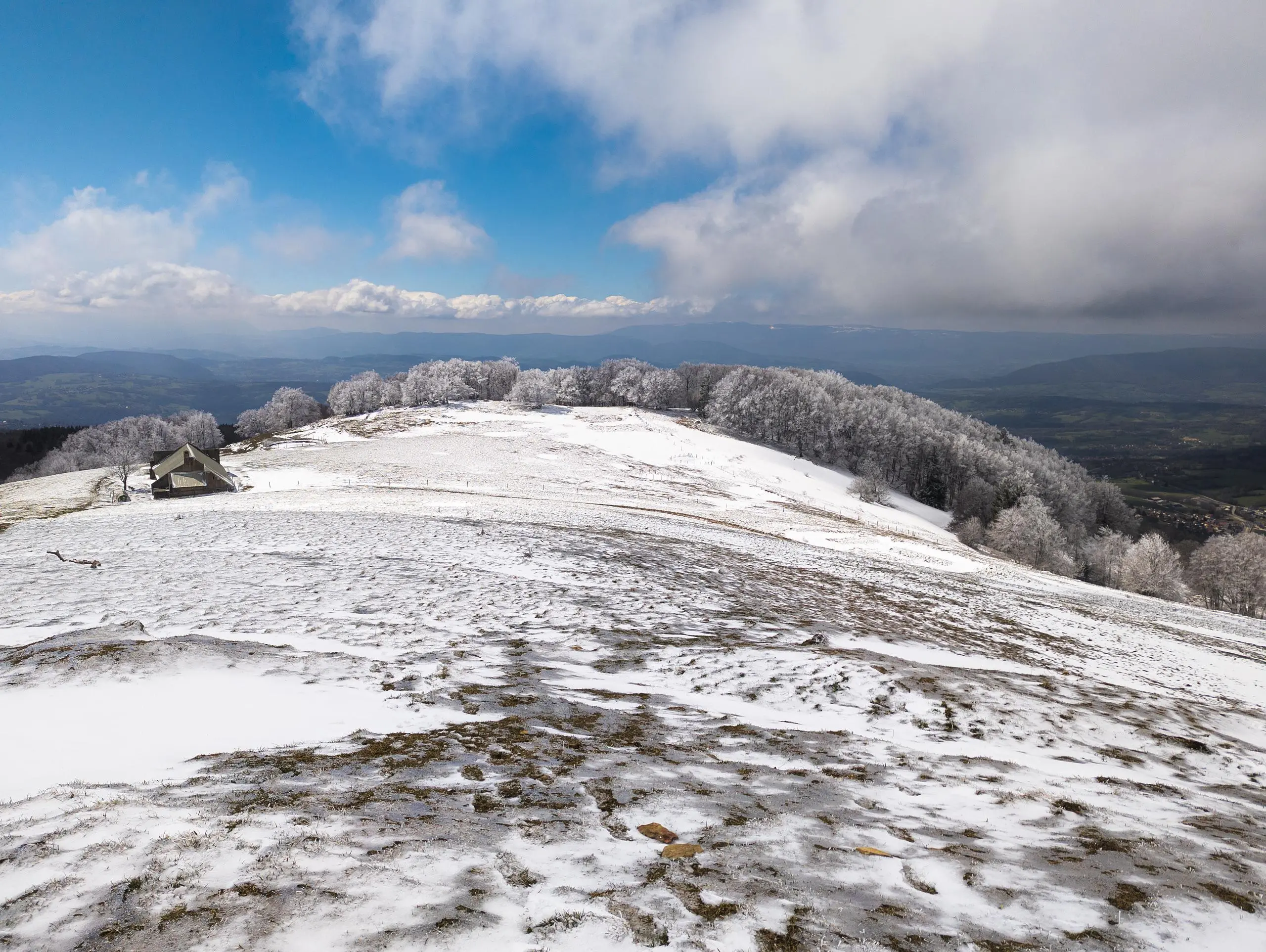
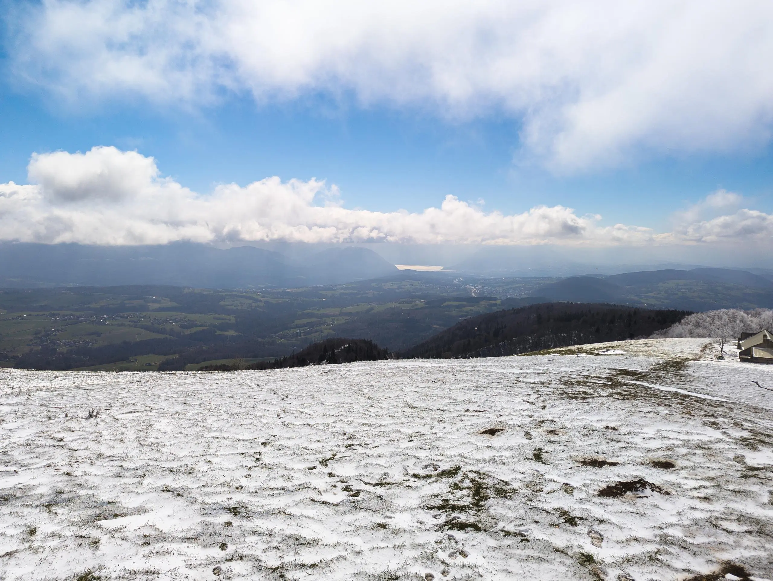
This hiking trail covers 8.133mi starting from Présilly, Haute-Savoie. The hike is a loop trail and returns to the trailhead. This hike is rated as strenuous, plan for about 2h29m to complete it. The route has an elevation gain of 2789ft and an elevation loss of 2772ft.
Salève depuis Pomier
Route details
3.26mph
Speed
1159 kcal
Calories burned
13.0%
Avg grade
Loop trail
Route type
2700ft
Min altitude
4521ft
Max altitude
Steep climb
Route profile
2789ft
Elevation gain
2772ft
Elevation loss
2700ft
Min altitude
4521ft
Max altitude
How to get there
Trailhead: 784 Route De Pomier, 74160 Présilly, France
GPS coordinates of the trailhead: 46.07951, 6.107417 / 46°4'46'' N, 6°6'26'' E


