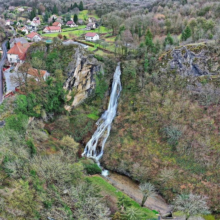
This hiking trail covers 1.849mi starting from Lizine, Doubs. The hike does not return to the trailhead and ends near D 103, 25330 Amondans, France. This hike is rated as easy, plan for about 59m31s to complete it. The route has an elevation gain of 459ft and an elevation loss of 266ft.
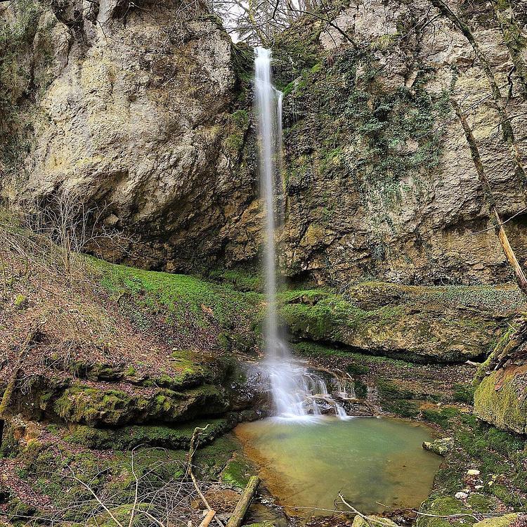
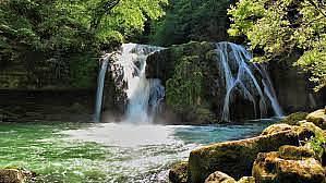
Cascades du canyons d'Amondans

Route details
1.86mph
Speed
449 kcal
Calories burned
7.4%
Avg grade
Point to point
Route type
988ft
Min altitude
1184ft
Max altitude
Route profile
459ft
Elevation gain
266ft
Elevation loss
988ft
Min altitude
1184ft
Max altitude
How to get there
Trailhead: D 135, 25330 Lizine, France
GPS coordinates of the trailhead: 47.07213, 5.98942 / 47°4'19'' N, 5°59'21'' E