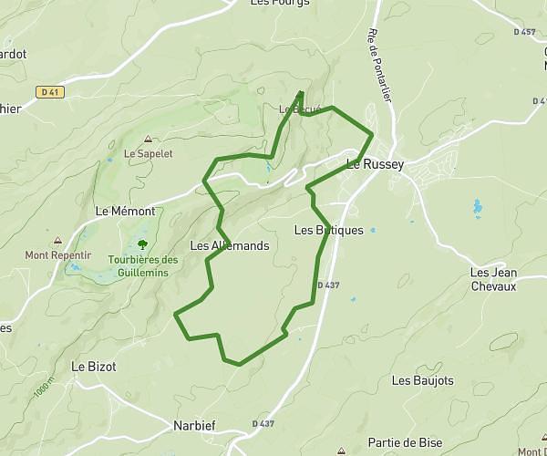
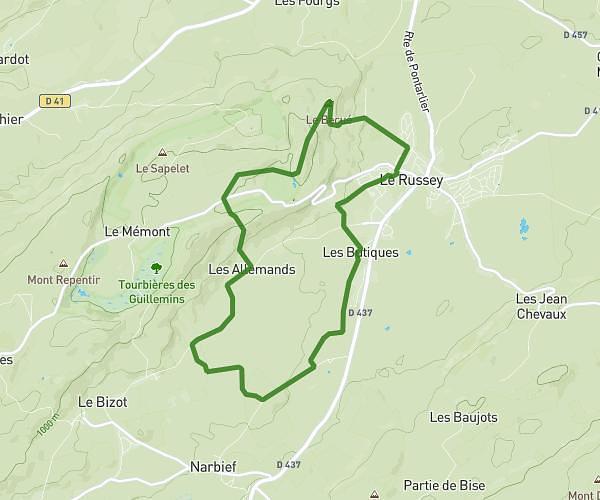
This hiking trail covers 1.076mi starting from Le Landeron, Neuchâtel. The hike does not return to the trailhead and ends near Chemin Du Pendu, 2520 La Neuveville. This hike is rated as moderate, plan for about 34m37s to complete it. The route has an elevation gain of 971ft and an elevation loss of 108ft.
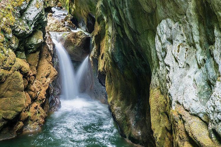
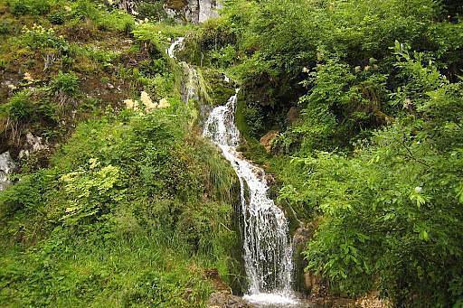
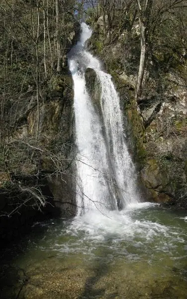
Cascades du Pilouvi
Route details
1.86mph
Speed
311 kcal
Calories burned
19.0%
Avg grade
Point to point
Route type
1430ft
Min altitude
2300ft
Max altitude
Steep climb
Route profile
971ft
Elevation gain
108ft
Elevation loss
1430ft
Min altitude
2300ft
Max altitude
How to get there
Trailhead: Rue Des Mornets, 2520 Le Landeron
GPS coordinates of the trailhead: 47.06399, 7.08394 / 47°3'50'' N, 7°5'2'' E