MapPlanner
2.881mi
Distance
1h32m
Duration
+791ft
Elevation gain
-794ft
Elevation loss
Easy
Level

Tour des cascades et pertes de la Valserine

Route details

1.86mph
Speed
705 kcal
Calories burned
10.4%
Avg grade
Loop trail
Route type
1129ft
Min altitude
1503ft
Max altitude
Steep climb

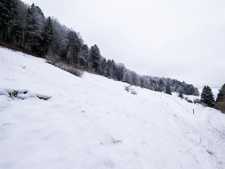
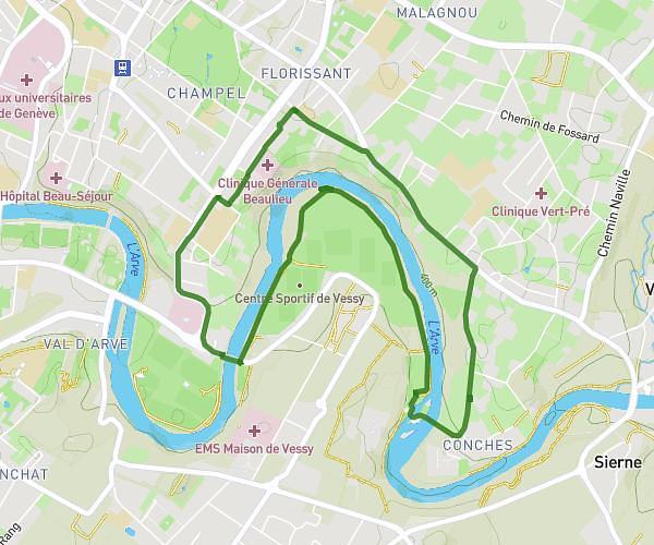
This hiking trail covers 2.881mi starting from Valserhône, Ain. The hike is a loop trail and returns to the trailhead. This hike is rated as easy, plan for about 1h32m to complete it. The route has an elevation gain of 791ft and an elevation loss of 794ft.

Description of the route by the creator

Discover the three Valserhône waterfalls: - Saint-Maxime waterfall - Métral dam waterfall - Streetcar waterfall

(Description automatically translated)

Route profile

791ft
Elevation gain
794ft
Elevation loss
1129ft
Min altitude
1503ft
Max altitude

How to get there

Trailhead: Chemin Du Cimetière, 01200 Valserhône

GPS coordinates of the trailhead: 46.11974, 5.82169 / 46°7'11'' N, 5°49'18'' E

Caution: May Cross Private Property

This route may pass through or near private property. Always respect posted signs, obtain permission where required, and follow local trespassing laws. MapPlanner does not guarantee public access along any route.

Safety Notice

Trail and road conditions may change without notice due to weather, construction, or other factors. Always verify current conditions before heading out. You are responsible for your own safety — follow local signage, obey traffic laws, and use your best judgment on the trail.