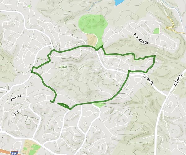
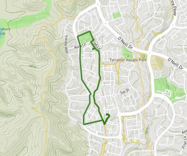
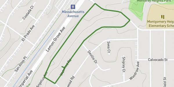
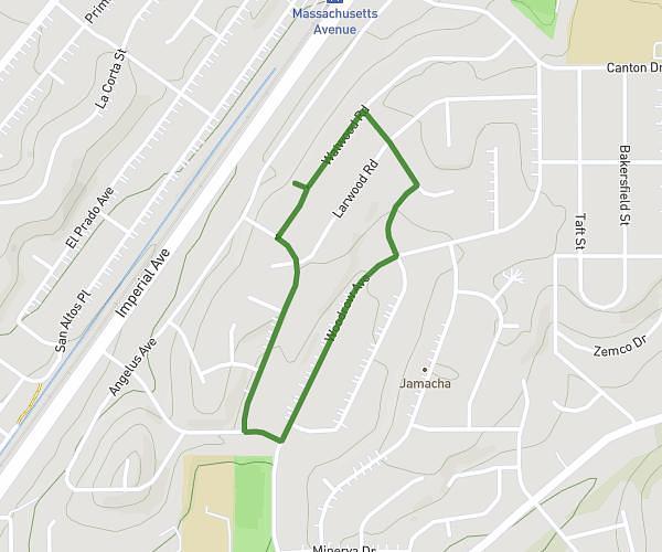
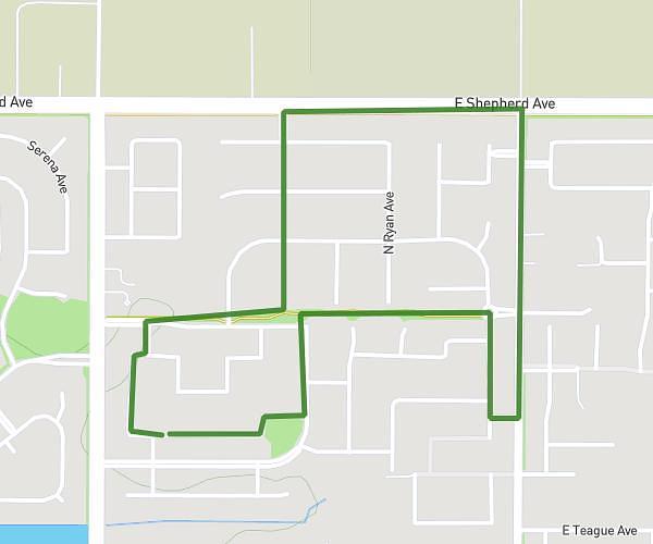
Explore this walking route of 2,506mi starting from Benicia, California. The walk is a loop and returns to the starting point. This walk has no defined difficulty level, plan for about 1h32m to complete it.
Mills
Route details
How to get there
Route starting point: Larkin Drive, 94510 Benicia
GPS coordinates of the starting point: 38.07523, -122.16662 / 38°4'30'' N, 122°9'59'' W
