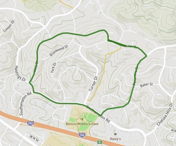
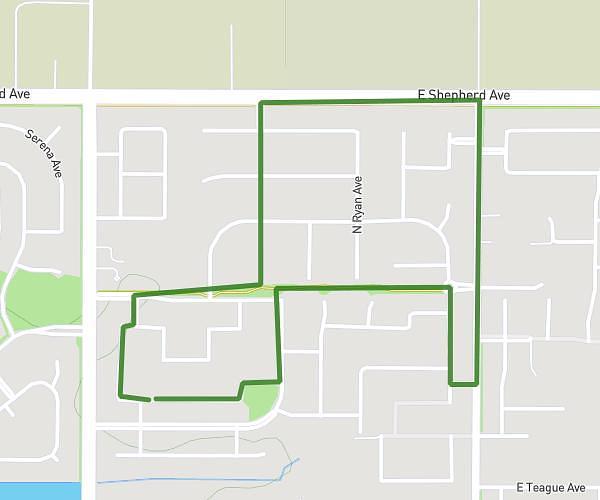
This walking route covers 4.095mi starting from Benicia, California. The walk is a loop trail and returns to the trailhead. This walk is rated as moderate, plan for about 2h31m to complete it. The route has an elevation gain of 407ft and an elevation loss of 420ft.
4 miles solanorosemcallister
Route details
36:51/mi
Pace
617 kcal
Calories burned
Loop trail
Route type
161ft
Min altitude
427ft
Max altitude
Route profile
407ft
Elevation gain
420ft
Elevation loss
161ft
Min altitude
427ft
Max altitude
How to get there
Trailhead: Larkin Drive, 94510 Benicia
GPS coordinates of the trailhead: 38.07524, -122.16655 / 38°4'30'' N, 122°9'59'' W