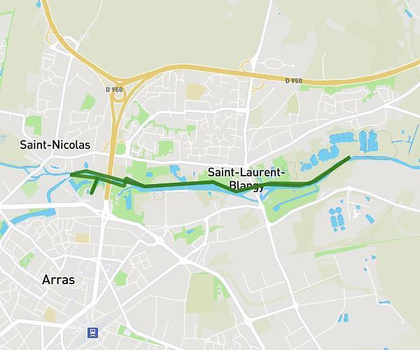
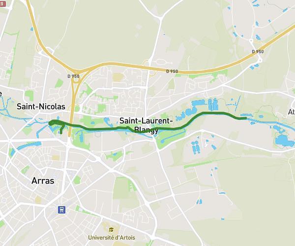
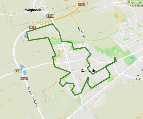
This hiking trail covers 7.881mi starting from Dainville, Pas-de-Calais. The hike is a loop trail and returns to the trailhead. This hike is rated as easy, plan for about 1h10m to complete it. The route has an elevation gain of 341ft and an elevation loss of 344ft.
CCD 12 26
Route details
6.75mph
Speed
497 kcal
Calories burned
1.6%
Avg grade
Loop trail
Route type
213ft
Min altitude
341ft
Max altitude
Route profile
341ft
Elevation gain
344ft
Elevation loss
213ft
Min altitude
341ft
Max altitude
How to get there
Trailhead: 107 Avenue Lavoisier, 62000 Dainville, France
GPS coordinates of the trailhead: 50.282616, 2.730303 / 50°16'57'' N, 2°43'49'' E