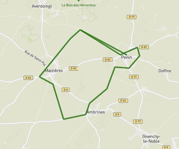
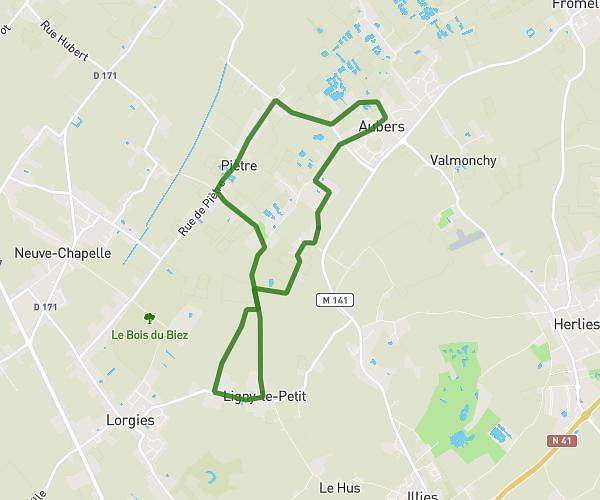
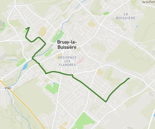
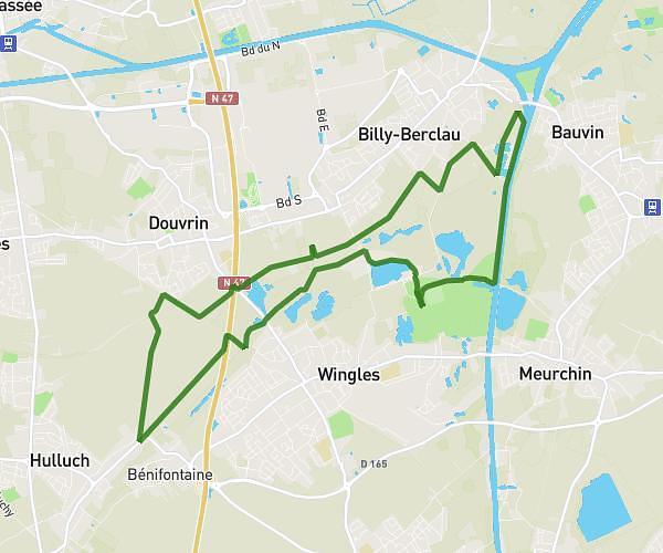
This hiking trail covers 12.278mi starting from Hersin-Coupigny, Pas-de-Calais. The hike does not return to the trailhead and ends near 6 Rue D'ablain, 62144 Carency, France. This hike is rated as hard, plan for about 4h26m to complete it. The route has an elevation gain of 1148ft and an elevation loss of 1230ft.
20260217 VO
Route details
2.77mph
Speed
1917 kcal
Calories burned
3.7%
Avg grade
Point to point
Route type
272ft
Min altitude
627ft
Max altitude
Route profile
1148ft
Elevation gain
1230ft
Elevation loss
272ft
Min altitude
627ft
Max altitude
How to get there
Trailhead: 4 Rue De L'étang, 62530 Hersin-Coupigny, France
GPS coordinates of the trailhead: 50.431292, 2.643144 / 50°25'52'' N, 2°38'35'' E