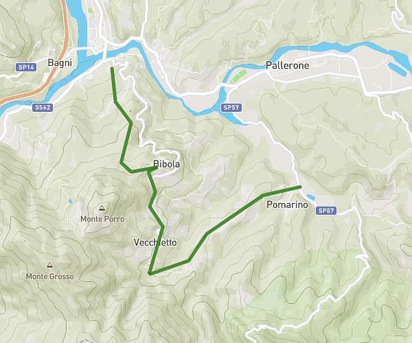
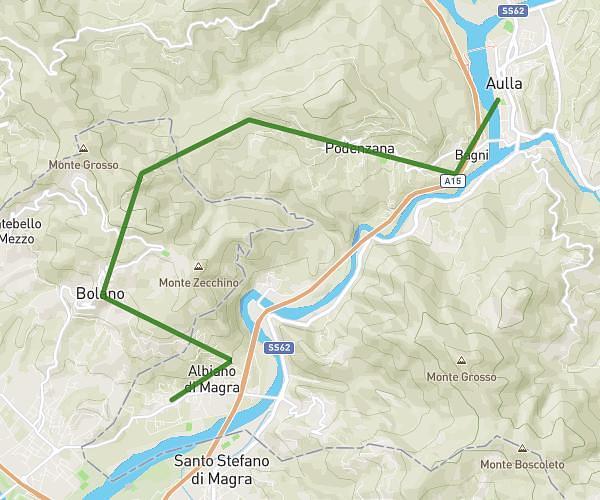
This running route covers 13.583mi starting from Aulla, Massa-Carrara. The run does not return to the trailhead and ends near Via Borgo Vecchio 14, 19020 Bolano La Spezia, Italy. This run is rated as strenuous, expect about 4h20m to complete it. The route has an elevation gain of 2297ft and an elevation loss of 1463ft.
Aulla - Bolano
Route details
3.13mph
Speed
2973 kcal
Calories burned
Point to point
Route type
197ft
Min altitude
1867ft
Max altitude
Route profile
2297ft
Elevation gain
1463ft
Elevation loss
197ft
Min altitude
1867ft
Max altitude
How to get there
Trailhead: Via Barcara, 54011 Aulla Massa-Carrara, Italy
GPS coordinates of the trailhead: 44.21479, 9.96898 / 44°12'53'' N, 9°58'8'' E