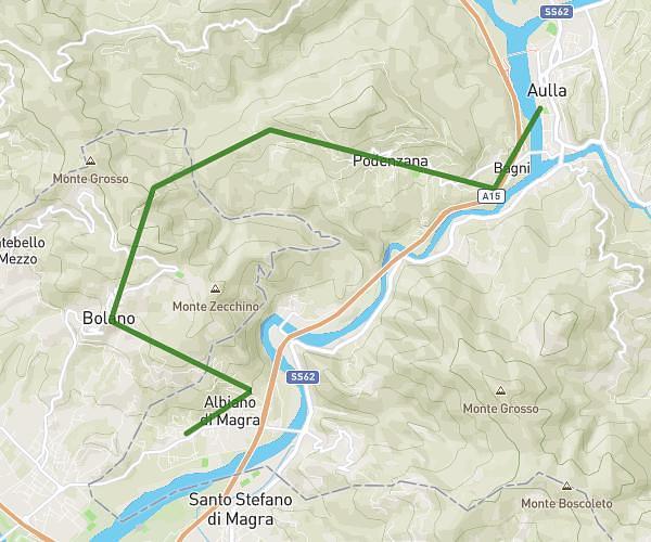
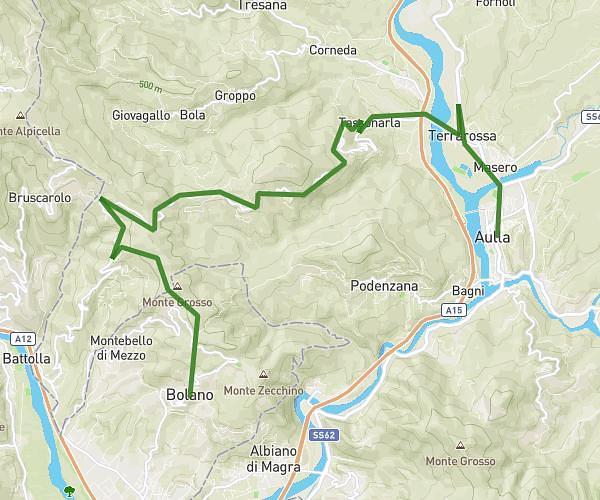
This running route covers 4.912mi starting from Aulla, Massa-Carrara. The run does not return to the trailhead and ends near Via Del Molino 2, 54011 Aulla Massa-Carrara, Italy. This run is rated as easy, expect about 1h to complete it. The route has an elevation gain of 1207ft and an elevation loss of 1165ft.
Pomarino - Vecchietto - Aulla
Route details
4.92mph
Speed
686 kcal
Calories burned
Point to point
Route type
259ft
Min altitude
1152ft
Max altitude
Route profile
1207ft
Elevation gain
1165ft
Elevation loss
259ft
Min altitude
1152ft
Max altitude
How to get there
Trailhead: Strada Provinciale 57 Ponzanello, 54011 Aulla Massa-Carrara, Italy
GPS coordinates of the trailhead: 44.18921, 10.00543 / 44°11'21'' N, 10°0'19'' E