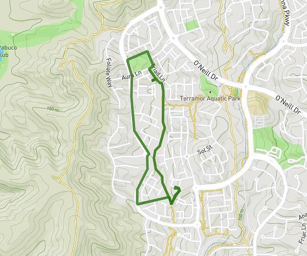
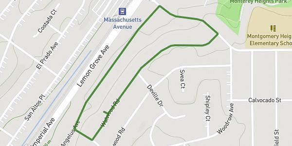
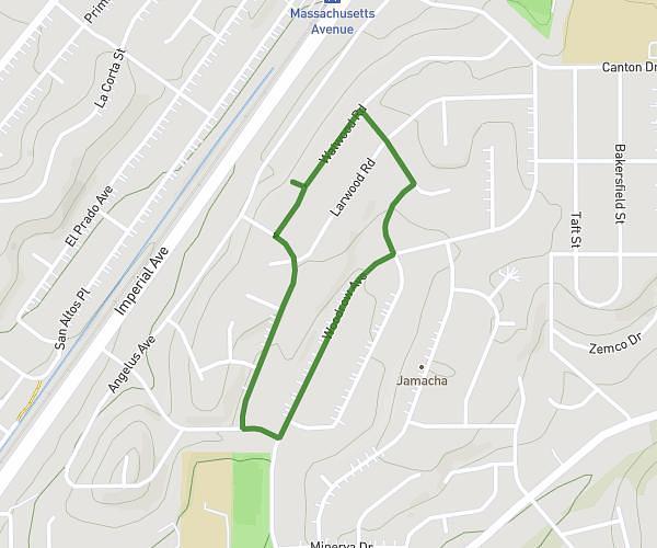
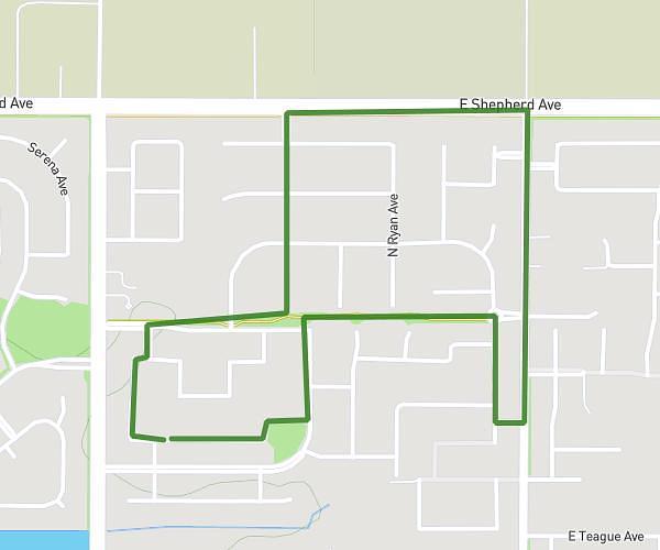
This walking route covers 0.698mi starting from Yuba City, California. The walk is a loop trail and returns to the trailhead. This walk is rated as easy, plan for about 20m to complete it. The route has an elevation gain of 20ft and an elevation loss of 20ft.
Block
Route details
28:39/mi
Pace
82 kcal
Calories burned
Loop trail
Route type
46ft
Min altitude
59ft
Max altitude
Route profile
20ft
Elevation gain
20ft
Elevation loss
46ft
Min altitude
59ft
Max altitude
How to get there
Trailhead: Manzanita Way, 95993 Yuba City
GPS coordinates of the trailhead: 39.11952, -121.64326 / 39°7'10'' N, 121°38'35'' W