This hiking trail covers 7.02mi starting from Benson, Arizona. The hike does not return to the trailhead and ends near 85602 Benson. This hike is rated as strenuous, plan for about 6h10m to complete it. The route has an elevation gain of 3993ft and an elevation loss of 643ft.
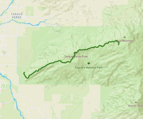
Turkey Creek to Manning Camp
Route details
1.14mph
Speed
3055 kcal
Calories burned
12.5%
Avg grade
Point to point
Route type
4619ft
Min altitude
8284ft
Max altitude
High altitude
Steep climb
Route profile
3993ft
Elevation gain
643ft
Elevation loss
4619ft
Min altitude
8284ft
Max altitude
How to get there
Trailhead: Turkey Creek Spring, 85602 Benson
GPS coordinates of the trailhead: 32.17687, -110.48222 / 32°10'36'' N, 110°28'55'' W