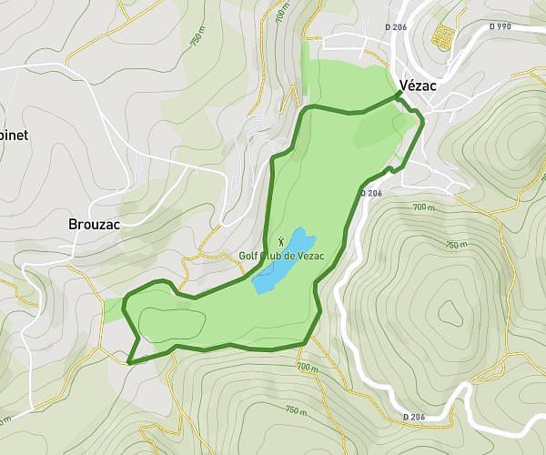
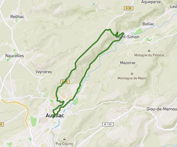
This running route covers 9.944mi starting from Aurillac, Cantal. The run is a loop trail and returns to the trailhead. This run is rated as hard, expect about 1h47m to complete it. The route has an elevation gain of 486ft and an elevation loss of 482ft.
Sortie 25.02.2026
Route details
5.57mph
Speed
1223 kcal
Calories burned
Loop trail
Route type
1939ft
Min altitude
2211ft
Max altitude
Route profile
486ft
Elevation gain
482ft
Elevation loss
1939ft
Min altitude
2211ft
Max altitude
How to get there
Trailhead: 2 Rue Du Docteur Patrick Béraud, 15000 Aurillac, France
GPS coordinates of the trailhead: 44.901976, 2.449874 / 44°54'7'' N, 2°26'59'' E