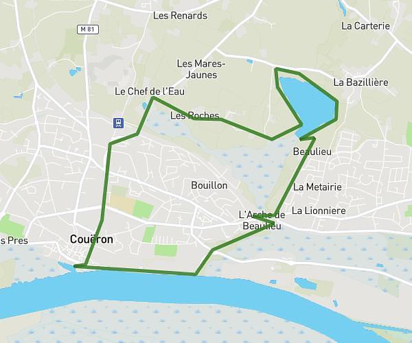
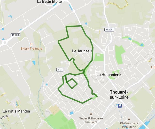
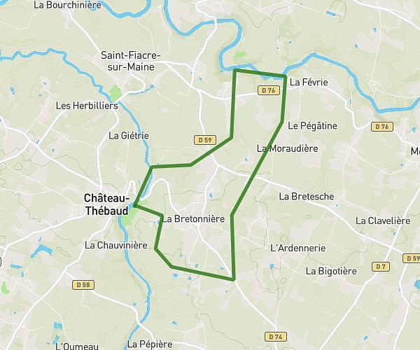
This hiking trail covers 18.173mi starting from Nantes, Loire-Atlantique. The hike does not return to the trailhead and ends near 6 Rue Du Temple, 44360 Saint-Étienne-de-Montluc, France. This hike is rated as moderate, plan for about 8h24m to complete it. The route has an elevation gain of 525ft and an elevation loss of 551ft.
Nantes /st Étienne montluc
Route details
2.16mph
Speed
3560 kcal
Calories burned
1.1%
Avg grade
Point to point
Route type
36ft
Min altitude
243ft
Max altitude
Route profile
525ft
Elevation gain
551ft
Elevation loss
36ft
Min altitude
243ft
Max altitude
How to get there
Trailhead: 85 Boulevard Saint-Aignan, 44100 Nantes, France
GPS coordinates of the trailhead: 47.20616, -1.57953 / 47°12'22'' N, 1°34'46'' W